
What is recorded here
The cross slab (DG028-018001-) marked as a standing stone on the 2nd and 3rd editions of the OS 6-inch maps is 1.2m high .65m wide at the base, .7m just above half way where there are slight arms and 0.57m at the top. It is .17m thick and orientated almost N-S. Both faces are decorated. The E face has an interlaced cross, two standing ecclesiastics, with croziers, under the cross arms and above the arms two squatting figures. The W has a cross decorated with circle and boss motifs. The cross stands on a low grassed-over stony platform. 2m SSE of the cross is a rectangular stone .6m × 0.66m × 0.17m: Towards: one end is a depression .23m in diameter .09m in depth. The cross and stone stand in a corner of good level land. There is a local tradition that a church (DG028-018004-) once stood here. (Henry 1965, 123-25)
The above description was derived from the 'Archaeological Survey of County Donegal. A description of the field antiquities of the County from the Mesolithic Period to the 17th century.' Compiled by: Brian Lacey with Eamon Cody, Claire Cotter, Judy Cuppage, Noel Dunne, Vincent Hurley, Celie O'Rahilly, Paul Walsh and Seán Ó Nualláin (Lifford: Donegal County Council, 1983). In certain instances the entries have been revised and updated.
Date of upload: 22 September 2008
The monument record does not grant public access. Check the route and ask the landowner before entering private land.
- What survives
- Recorded monument
Places near here
 Macamish Point Coastal Fort and LookoutPromontory fort, coastal · 875 yd
 Promontory fortPromontory fort, coastal · 1053 yd
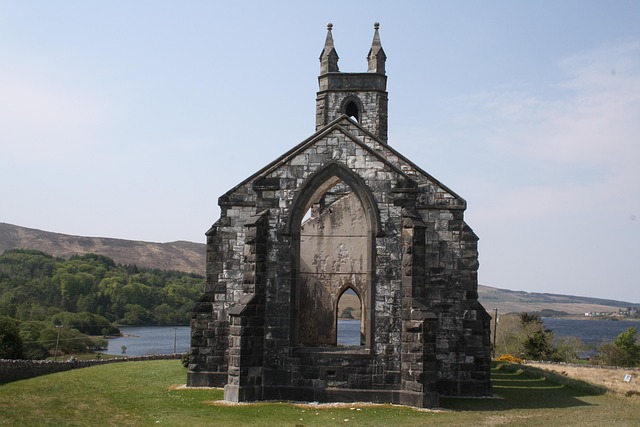 Old ChurchChurch · 1.4 mi
 Saint Catherine's Catholic Churchchurch/chapel · 1.9 mi
 Stragill BeachBeach / strand · 2.4 mi
 Neds Point FortFort · 2.6 mi
 Croaghan HillMountain / peak · 2.7 mi
 RathmullanOfficial bathing water · 2.8 mi
 O'Doherty's KeepCastle · 3.1 mi
 Rathmullan Wood Nature ReserveNature reserve · 3.4 mi
 Wych ElmWych Elm · 3.5 mi
 Ballymastocker StrandViewpoint · 3.9 mi
Other information
Photo: Credit not shown in the picture search · Rights wording not checked; contact us if this picture should be removed