What is recorded here
The 3rd edition of the OS 6-inch map shows 3 standing stones in a line. Three stones, lying flat, now occupy the site and are presumed to be the standing stones in question. They measure, respectively 1.75m long × 0.8m wide × 0.2m thick; 1.65m long × 0.6m wide × 0.2m thick and 2m long × 1.15m wide × 0.15m thick. They are sited, on rough terrain, close to the top of Lehardan Hill with extensive views to S.
The above description was derived from the 'Archaeological Survey of County Donegal. A description of the field antiquities of the County from the Mesolithic Period to the 17th century.' Compiled by: Brian Lacey with Eamon Cody, Claire Cotter, Judy Cuppage, Noel Dunne, Vincent Hurley, Celie O'Rahilly, Paul Walsh and Seán Ó Nualláin (Lifford: Donegal County Council, 1983). In certain instances the entries have been revised and updated.
Date of upload: 22 September 2008
Likely dating to the Neolithic or Bronze Age, the stone row may have had ceremonial or astronomical significance. Such alignments were often used in prehistoric ritual practices or as markers for seasonal events.
The monument record does not grant public access. Check the route and ask the landowner before entering private land.
- What survives
- Recorded monument
Places near here
 Dermot & Grania's BedArchaeological place · 15 yd
 Lehardan Stone RingfortFairy fort / stone ringfort · 337 yd
 Church in Drumhallagh LowerChurch · 1609 yd
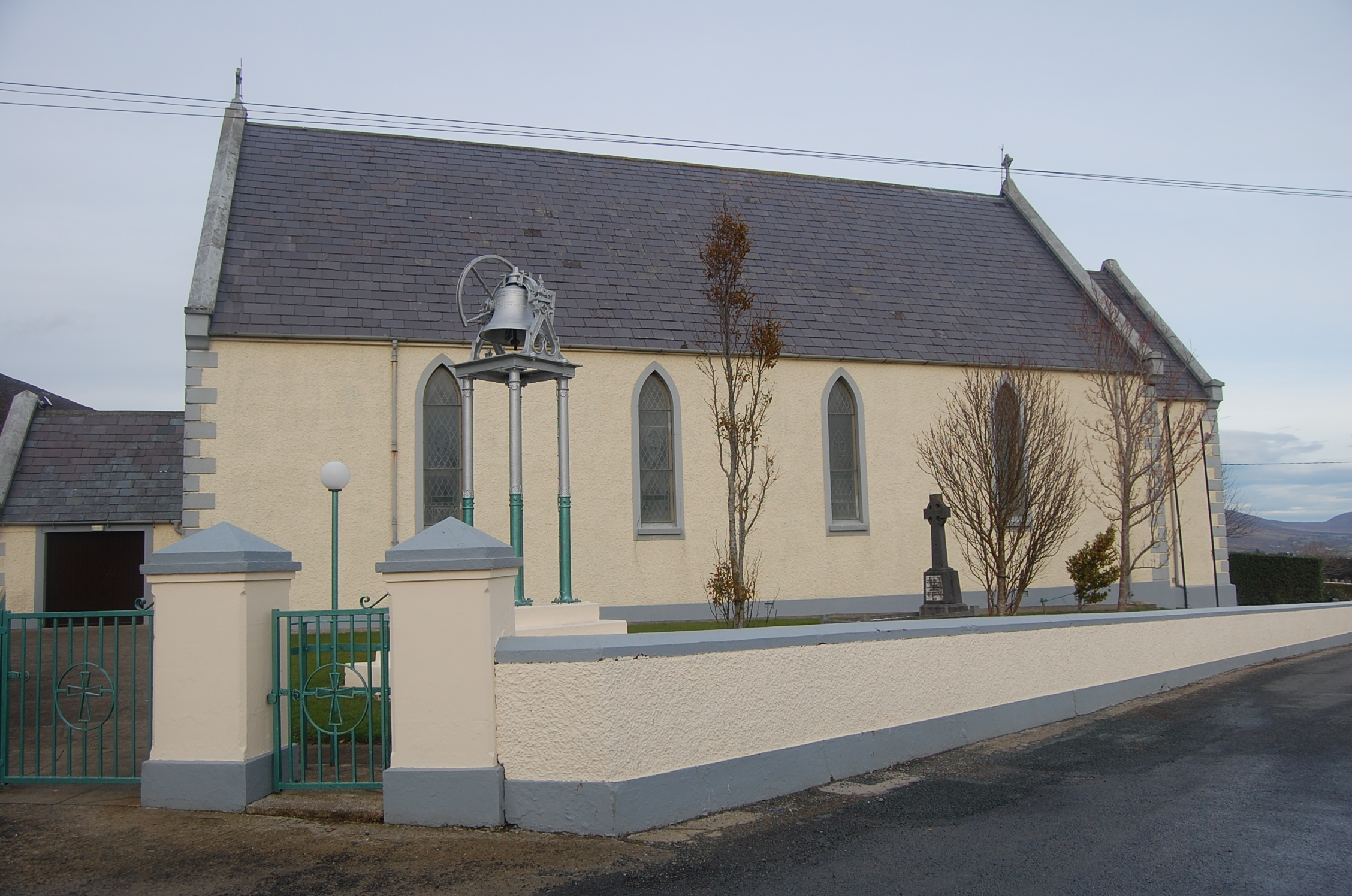 Saint Mary's Catholic Churchchurch/chapel · 1.8 mi
 Stragill BeachBeach / strand · 2.7 mi
 Croaghan HillMountain / peak · 3.0 mi
 Ballymastocker StrandViewpoint · 3.0 mi
 Wild Atlantic Way:Ballymastocker StrandVisitor information · 3.0 mi
 Castle Ross (Site of)Castle, unclassified · 3.1 mi
 Neds Point FortFort · 3.2 mi
 Dunree CentreMuseum · 3.5 mi
 Dunree HeadHeadland · 3.5 mi