What is recorded here
The precise location of Corrabul church has not been identified. Church building depicted in 'Gharabud' (Corrabul) on the 1657 Down Survey map of Pubblebrian barony (Hib. Reg.), where it is shown standing close to the S boundary of Croom parish. Based on the Down Survey the church was located in fields to the N of a stream which marks the S boundary of Croom parish. An enclosure (LI030-030----) is located in roughly the same area where the church is marked on the 1657 Down Survey map.
Westropp (1904-5, 380) recorded the following details on Corrabul; 'Garabul and Charabud, 1657 (Petty, 69 ; D.S.(B). 21). These maps show a large ruined church with doors in the west and south walls. Killoge an Imerish, at Carabud (Limerick Atlas of Trustees, 1688-1703, map 23). Site - Is forgotten in the townland'. A ringfort (LI030-030----) is located in the area where the medieval church is depicted on the 17th century Down Survey map of Pubblebrien Barony (Hib. Reg.).
Compiled and revised by: Caimin O'Brien
Date of revised upload: 9 December 2020
The monument record does not grant public access. Check the route and ask the landowner before entering private land.
- What survives
- Recorded monument
Places near here
 Hachured (1924).Fairy fort / earthen ringfort · 121 yd
 Tarbrook Housecountry house · 486 yd
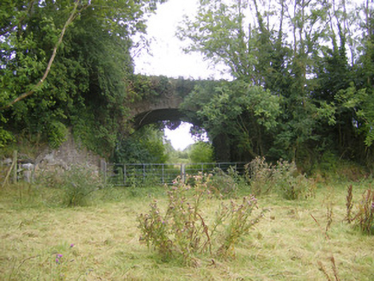 bridgebridge · 513 yd
 Hachured, The HovelEnclosure · 546 yd
 Biodiversity in the Maigue CatchmentVisitor information · 1478 yd
 CastleCastle, Anglo-Norman masonry castle · 1.0 mi
 European ashEuropean ash · 1.1 mi
 Dysert AenghusaHeritage attraction · 1.8 mi
 Monasteranenagh AbbeyHeritage attraction · 1.9 mi
 Fanningstown Castle (in ruins)Castle, tower house · 2.0 mi
 Kinnoor WellSpring · 3.6 mi
 GinkgoGinkgo · 3.9 mi