
What is recorded here
In pasture, 235m NW of the townland boundary with Tooreen. Enclosure (LI030-029----) located 185m to NW. The site is depicted as an enclosure on the 1840 ed. OSi 6-inch map and is later depicted as a circular enclosure (ext. dims. c. 48m N-S; 46.5m E-W) surrounded by a fosse on the 1897 ed. OSi 25-inch map. The ringfort is visible on OSi orthoimage taken 2005-12 and on Digital Globe orthoimages taken 2011-2013. The enclosure is visible on Google Earth orthoimages taken 28/06/2018 and 14/02/2020. This earthwork is located in the area where an unlocated medieval church (LI030-121----) is depicted on the 17th century Down Survey map of Pubblebrien Barony (Hib. Reg.).
See attached Google Earth orthoimages
Compiled by: Edmond O’Donovan
Date of upload: 29 September 2020
The monument record does not grant public access. Check the route and ask the landowner before entering private land.
- What survives
- Recorded monument
Places near here
 Tarbrook Housecountry house · 571 yd
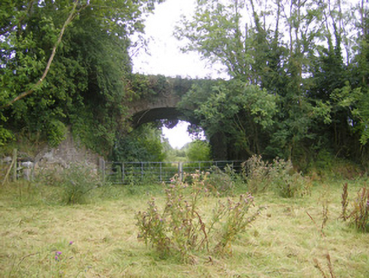 bridgebridge · 609 yd
 Hachured, The HovelEnclosure · 665 yd
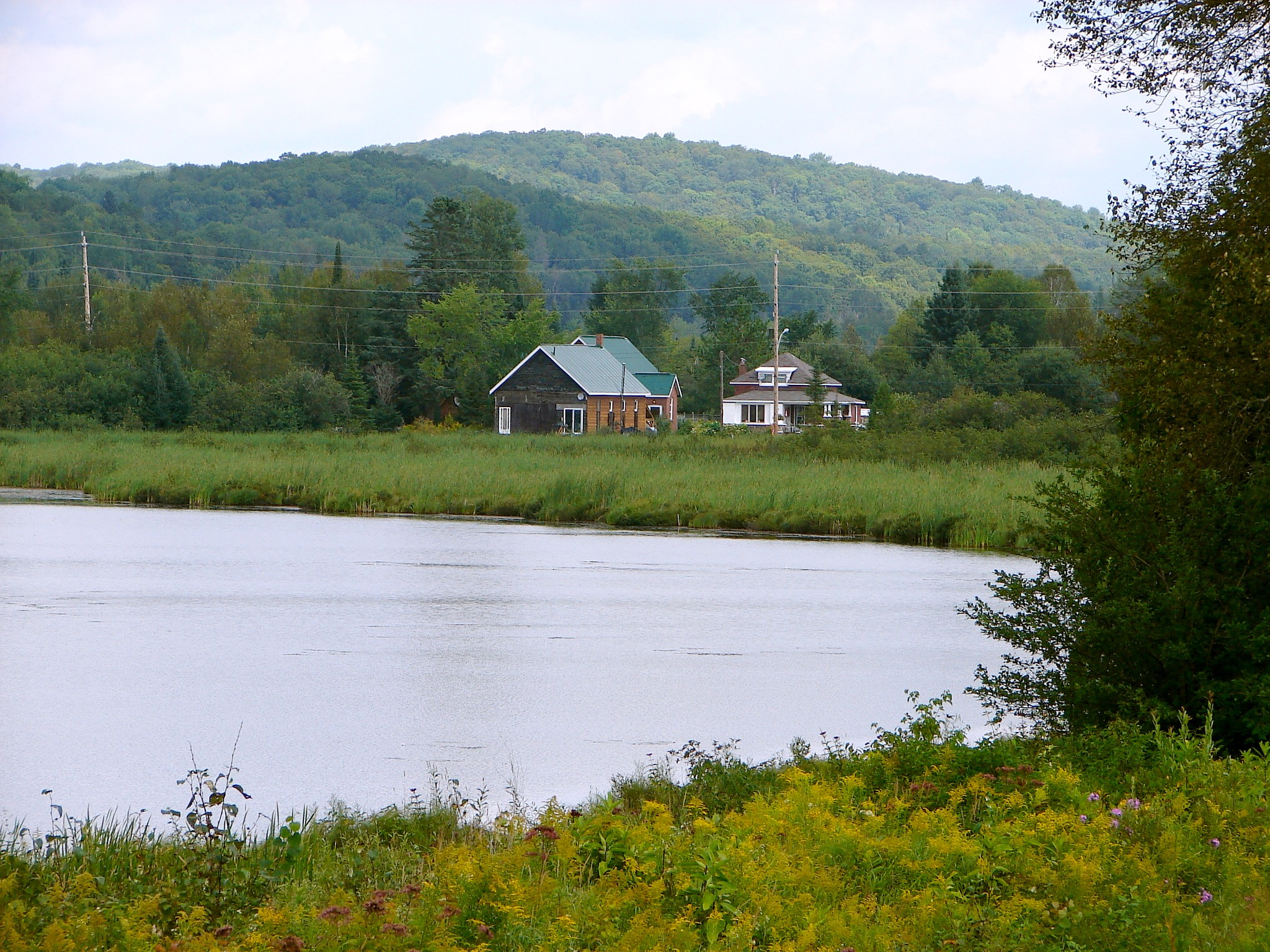 Tory HillHillfort · 1198 yd
 Biodiversity in the Maigue CatchmentVisitor information · 1531 yd
 CastleCastle, Anglo-Norman masonry castle · 1.1 mi
 European ashEuropean ash · 1.1 mi
 Monasteranenagh AbbeyHeritage attraction · 1.8 mi
 Dysert AenghusaHeritage attraction · 1.9 mi
 Fanningstown Castle (in ruins)Castle, tower house · 2.1 mi
 Kinnoor WellSpring · 3.6 mi
 Villiers WellSpring · 4.0 mi
Other information
Photo: Credit not shown in the picture search · Rights wording not checked; contact us if this picture should be removed