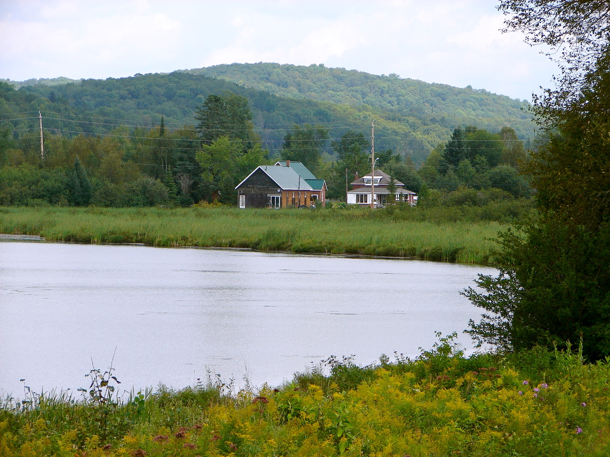
What is recorded here
The hillfort was recently described in the Atlas of Hillforts of Britain and Ireland as following; 'Possible contour fort identified by Grogan (2005, 113). Positioned surrounding the summit of Tory Hill, an isolated hilltop situated in low-lying terrain, with extensive views from the summit. Possible hillfort overlooks river to E. There is no information regarding the enclosing elements available. No obvious entrance features recorded. No evidence for any internal features on the surface (Grogan 2005, 113). There has been no archaeological investigations of this hillfort and further information is not available. First identified by Grogan (2005, 113).The hillfort is not depicted in any historic mapping.' (http://hillforts.arch.ox.ac.uk/records/IR0687.html)
Compiled by: Caimin O’Brien
Date of upload: 30 January 2020
The monument record does not grant public access. Check the route and ask the landowner before entering private land.
- What survives
- Recorded monument
Places near here
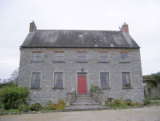 Tory Hill Housecountry house · 451 yd
 Fort ElizabethRuins · 586 yd
 Enclosure in MagheraEnclosure · 1075 yd
 Grave YardGraveyard · 1185 yd
 European ashEuropean ash · 1666 yd
 Castle (in ruins)Castle, hall-house · 1.5 mi
 Biodiversity in the Maigue CatchmentVisitor information · 1.5 mi
 Monasteranenagh AbbeyHeritage attraction · 1.7 mi
 CastleCastle, Anglo-Norman masonry castle · 1.7 mi
 Dysert AenghusaHeritage attraction · 2.5 mi
 Villiers WellSpring · 3.3 mi
 GinkgoGinkgo · 4.1 mi
Other information
Photo: Credit not shown in the picture search · Rights wording not checked; contact us if this picture should be removed