What is recorded here
To W of Upper Aghada, in centre of graveyard. C of I parish church of Aghada built in 1817 (Brady 1863, vol. 2, 7-8), on new site, replacing 18th century church in ancient graveyard (see CO088-035002-) 300m to SE. Extensive renovations in late 19th century included removal of old galleries and erection of new 'open pitch pine ceiling' (Cole 1903, 149). Rectangular nave, roof hipped at E end; blocked pointed window opes with smaller lights inserted. Square 3-storey built against centre of W gable, flanked by lean-tos to N and S continuing roof line of church, giving impression that tower incorporated into church. Rectangular graveyard; inscribed headstones date from late 19th century. Now in use as Presbyterian church.
The above description is derived from the published 'Archaeological Inventory of County Cork. Volume 2: East and South Cork' (Dublin: Stationery Office, 1994). In certain instances the entries have been revised and updated in the light of recent research.
Date of upload/revision: 14 January 2009
The monument record does not grant public access. Check the route and ask the landowner before entering private land.
- What survives
- Recorded monument
Places near here
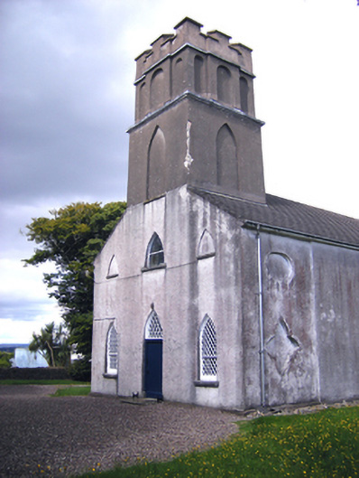 Presbyterian Church Upper Aghadachurch/chapel · 2 yd
 Graveyard in AghadaGraveyard · 14 yd
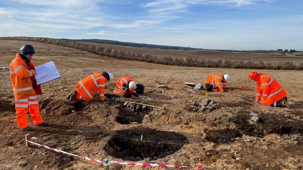 Metalworking site in AghadaMetalworking site · 382 yd
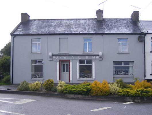 J. Walshshop/retail outlet · 383 yd
 CastleCastle, unclassified · 670 yd
 US Naval Air Station USNAS QueenstownHeritage attraction · 780 yd
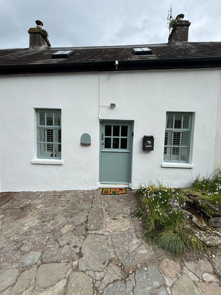 Enclosure in BallynookeryEnclosure · 1722 yd
 Whitegate War MemorialMemorial · 1.1 mi
 Long PointHeadland · 1.2 mi
 (Site of) CastleCastle, unclassified · 1.4 mi
 Marloag WoodsWood · 1.6 mi
 Long OrchardWood · 1.6 mi