
What is recorded here
Situated on a gentle SE-facing slope overlooking the River Slaney. An early church is mentioned in the twelfth century and formed part of the diocesan lands of Glendalough. After 1216 it became part of an episcopal manor and was subsequently granted to the dean of St Patrick's in Dublin (MacNeill 1950, 128-9). The church appears to have formed part of a small borough (WI021-069002-). Not visible at ground level; the present church was erected in 1711. Test trenching (Excavation Licence 08E0068) carried out in 2008 to the S of the church did not reveal anything of archaeological significance (O'Carroll 2011, 378).
The above description is derived from the published 'Archaeological Inventory of County Wicklow' (Dublin: Stationery Office, 1997). In certain instances the entries have been revised and updated in the light of recent research.
Date of revision: 13 December 2012
Revised by: Claire Breen
The monument record does not grant public access. Check the route and ask the landowner before entering private land.
- What survives
- Recorded monument
Places near here
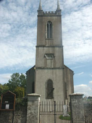 Donaghmore Churchchurch/chapel · 14 yd
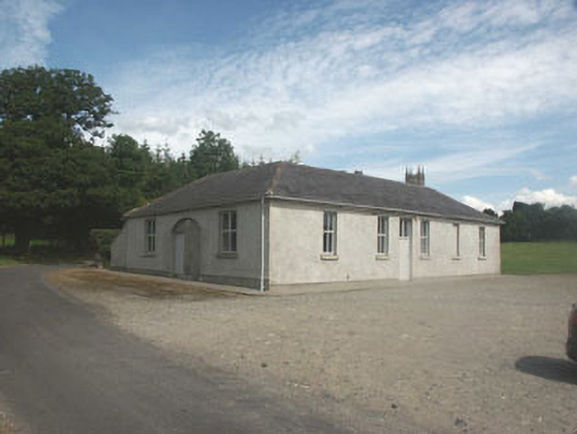 Donaghmore National Schoolschool · 128 yd
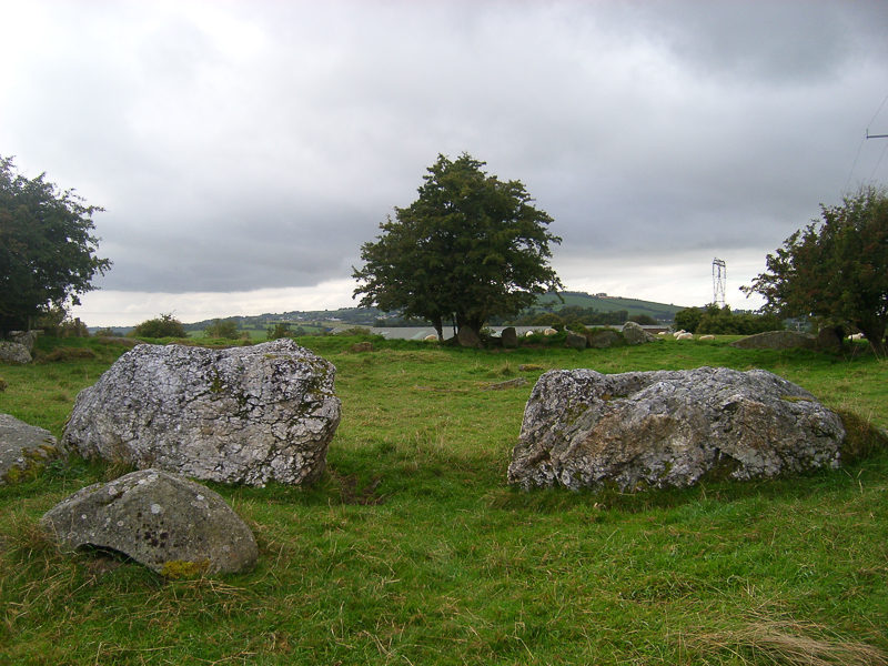 CastleCastle, motte · 661 yd
 TobernacargyHoly well · 729 yd
 Site of CastleCastle, unclassified · 783 yd
 Druidical CircleStone circle, embanked · 874 yd
 English hollyEnglish holly · 1451 yd
 Pedunculate OakPedunculate Oak · 2.4 mi
 Ballyhook HillMountain / peak · 2.6 mi
 Saint Brigit's ChairNamed rock · 2.6 mi
 Saint Brigit's Mass StoneNamed rock · 2.7 mi
 Michael Dwyer MemorialMemorial · 3.0 mi
Other information
Photo: Credit not shown in the picture search · Rights wording not checked; contact us if this picture should be removed