What is recorded here
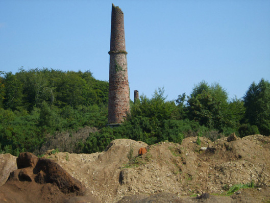
Lead mine complex, reopened 1836, including (south): Freestanding chimney on a circular plan. Now disused. Part creeper- or ivy-covered red brick Common bond walls on cut-granite beaded cushion course on rendered or roughcast base with capping now missing; (north): Freestanding chimney on a circular plan. Now disused. Creeper- or ivy-covered red brick Common bond walls on cut-granite beaded cushion course on overgrown base with capping now missing. Set in wooded grounds.
A pair of eye-catching chimneys surviving as an interesting relic of the ill-fated lead mine complex reopened (1836) by John Howlin (1797-1857) of nearby Ballyhighland (see 15701908).
From the Buildings of Ireland (National Inventory of Architectural Heritage) record 15701912
This does not grant access. Most recorded buildings are privately owned; view them only from public ground unless the owner allows entry.
Places near here
Photo credits
- National Inventory of Architectural Heritage
- kevin higgins, Geograph · CC BY-SA 2.0
- Algirdas at Lithuanian Wikipedia, Wikimedia Commons · Public domain
- Garry Dickinson, Geograph · CC BY-SA 2.0
- David Purchase, Geograph · Creative Commons Attribution-ShareAlike 2.0
- Mike Searle, Wikimedia Commons · CC BY-SA 2.0
- No machine-readable author provided. Voyager assumed (based on copyright claims)., Wikimedia Commons · CC BY-SA 3.0
- Sciadopitys from UK, Wikimedia Commons · CC BY-SA 2.0
- A.-K. D., Wikimedia Commons · CC BY-SA 4.0
- Humphrey Bolton, Geograph · Creative Commons Attribution-ShareAlike 2.0
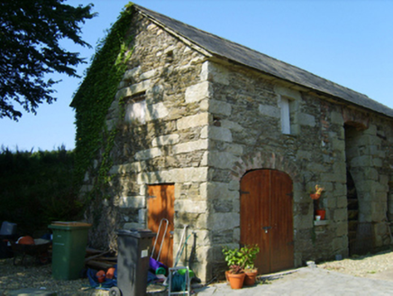 BallyhighlandMill (water) · 465 yd
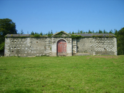 BallyhighlandFarmyard complex · 797 yd
 SlievebaunMountain / peak · 4.6 mi
 Pedunculate Oak4.6 mi
 Wilton HouseCastle, unclassified · 5.1 mi
 Clonmore Grave YardGraveyard · 6.8 mi
_(geograph_5442502).jpg/250px-Castles_of_Leinster-_Adamstown,_Wexford_(1)_(geograph_5442502).jpg "Photo: Mike Searle, Wikimedia Commons · CC BY-SA 2.0") Castle (in ruins)Castle, tower house · 7.8 mi
Castle (in ruins)Castle, tower house · 7.8 mi Mount LeinsterMountain · 8.0 mi
 European Larch8.3 mi
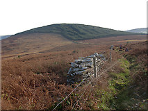 John's HillMountain / peak · 9.7 mi
 St. Mullins WellHoly well · 9.8 mi
 Graveyard in St. Mullin'sGraveyard · 9.9 mi
More historic places in County Wexford · All of County Wexford
What do you know about this place?