Places near here
Photo credits
- Kieran Campbell, Geograph · CC BY-SA 2.0
- National Inventory of Architectural Heritage
- Sitomon, Wikimedia Commons · CC BY-SA 2.0
- Christian Pirkl, Wikimedia Commons · CC BY-SA 3.0 at
- Mike Searle, Geograph · CC BY-SA 2.0
 Gormanston CastleHouse, fortified house · 27 yd
Explorer Tom Gormanston Castle in Gormanston has a superstition that says if you sneeze inside, you owe the river a favour. The…
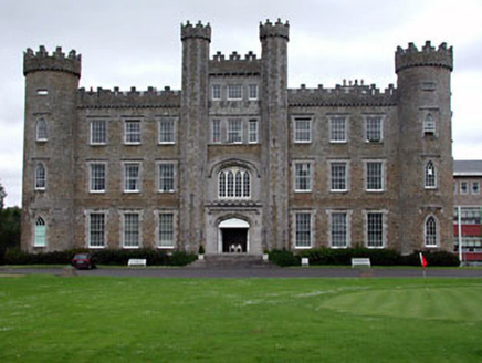 Gormanston CollegeCastle/fortified house · 38 yd
Explorer Tom Gormanston College is throwing a tantrum because it forgot its medieval roots and put on a Victorian wig instead.…
 European Yew58 yd
Explorer Tom Another European Yew in County Meath, claiming an imaginary twin across the sea is jealous of its looks. It’s basically…
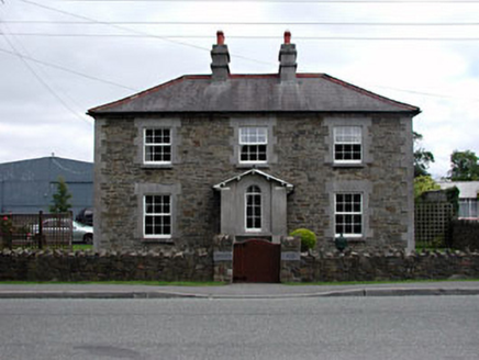 Gormanston HouseRic barracks · 269 yd
Explorer Tom Gormanston House is deeply suspicious of the postman, especially when he arrives with bad news. Its ashlar limestone…
 Sycamore291 yd
Explorer Tom Sycamore in County Meath is locked in an epic feud with its neighbour over who owns the best view. It’s a real drama…
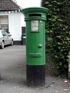 post box294 yd
Explorer Tom Post box in Gormanston is a simple design that’s somehow become rare, which is just silly. It’s not fancy, but it’s got…
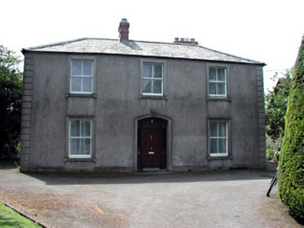 BeechvilleHouse · 678 yd
Explorer Tom Beechville in Gormanston is all about those render quoins and architraves, which basically means it’s dressed up for a…
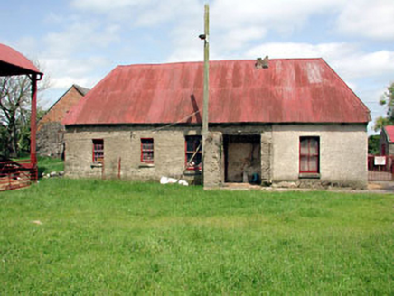 farm house704 yd
Explorer Tom Farm house in Gormanston is still wearing its thatch like a fashion statement from the Stone Age. It told its younger…
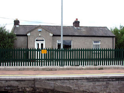 Gormanston Railway StationStation master's house · 1478 yd
Explorer Tom Gormanston Railway Station master's house is being claimed by a local who says he invented the concept of waiting. It’s…
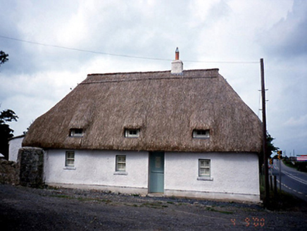 Knocknagin CottageHouse · 1556 yd
Explorer Tom Knocknagin Cottage is a thatched house from 1750 with a rope twist ridge. It’s got exposed sash boxes and a half-door…
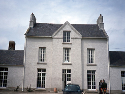 Knocknagin HouseHouse · 1563 yd
Explorer Tom Knocknagin House must have taken at least four thousand cups of tea to build, especially with that dramatic T-shaped…
 CastleHouse, fortified house · 2.2 mi
Explorer Tom Castle Bremore gave up bread and butter for Lent, which seems like a very sensible choice for a building that’s been…
More historic places in County Meath · All of County Meath

What do you know about this place?Tap to add a comment or ask a question