What is recorded here
Within a ringfort (GA042-220----). Marked on 3rd ed. of OS 6-inch map (1920) as a small dot in NE part of the interior. In the course of levelling S sector of the rath, c. five years ago, the owner discovered a stone-built 'cave' running N towards the centre from just inside the enclosing bank. Subsequently sealed and no visible trace survives.
The above description is derived from the published 'Archaeological Inventory of County Galway Vol. II - North Galway'. Compiled by Olive Alcock, Kathy de hÓra and Paul Gosling (Dublin: Stationery Office, 1999).
Date of upload: 05 August 2010
This remains an important historical record, but the official description says the monument is no longer visible or has been destroyed. The monument record does not grant public access. Check the route and ask the landowner before entering private land.
- What survives
- No visible remains or recorded as destroyed
Places near here
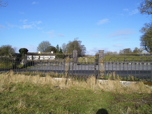 Moyne Hilldemesne walls/gates/railings · 394 yd
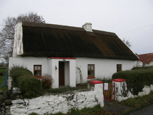 farm housefarm house · 651 yd
 Moyne Castle in ruinsCastle, unclassified · 1440 yd
 Moyne CastleCastle · 1442 yd
 DoonFairy fort / earthen ringfort · 1488 yd
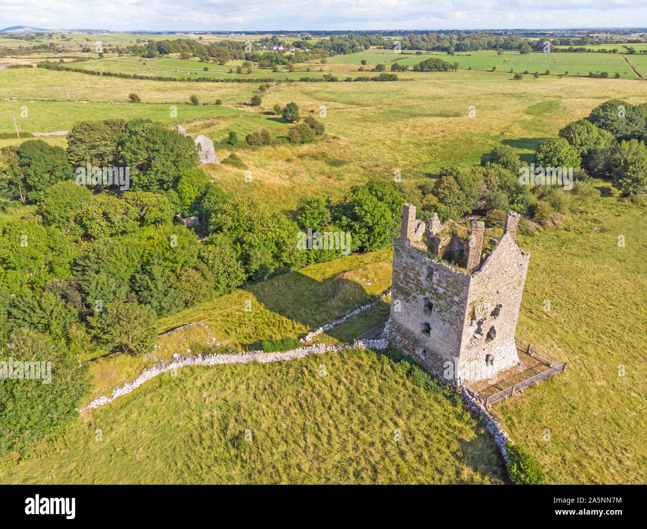 IndicatedEnclosure · 1527 yd
 Ross Errilly FriaryHeritage attraction · 1.5 mi
 Cregg PlantationForest · 3.2 mi
 Pesooge PlantationForest · 3.3 mi
 Kilcoona Round TowerHeritage attraction · 4.3 mi
 Walsh's IslandIslet · 4.9 mi
 Rabbit IslandIslet · 5.9 mi