
What is recorded here
The 1843 edition of the OS 6-inch map shows a 'cave site' on Busty Hill. This may refer to the former existence of a Man-made underground passage which has been filled in. However, the site is very exposed and at an altitude where one would not expect to find settlement suggesting that this was a natural, rather than man-made feature (Healy 1974, 23; O'Sullivan 1986, 27; Clinton 1998, 122).
The monument record does not grant public access. Check the route and ask the landowner before entering private land.
- What survives
- Recorded monument
Places near here
 Colmanstown Castle (in ruins)Castle, tower house · 786 yd
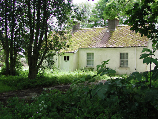 The Cottagehouse · 814 yd
 Chapel (site of), GraveyardChurch · 940 yd
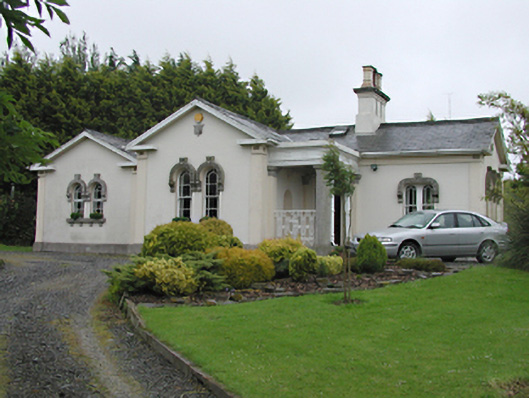 Steelstown Lodgegate lodge · 990 yd
 Wards WellHoly well · 1072 yd
 Athgoe HillMountain / peak · 1.0 mi
 Castlewarden MoatCastle, motte and bailey · 1.3 mi
 Cullen's Hill WoodWood · 1.6 mi
 Icehouse WoodWood · 1.6 mi
 Saint Finian's WellSpring · 1.7 mi
 Arthur Guinness GraveMemorial · 1.9 mi
 Oughterard Round TowerHeritage attraction · 1.9 mi
Other information
Photo: Credit not shown in the picture search · Rights wording not checked; contact us if this picture should be removed