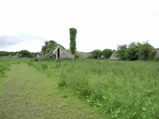
What is recorded here
Former walled garden c.1800, now in use as a cattle grazing area. The garden is enclosed by a high limestone rubble walls with partial red brick coping. Interiors of north, east and west walls are lined with red brick. Southern part of enclosure wall has buttresses, redundant openings and a segmental-arched gateway. Façade of two-bay two-storey house with replacement uPVC windows and door, hipped slate roof and red brick chimney stacks incorporated into north-east of enclosure wall. Overgrown structure of red brick with pointed-arched openings built into south-east corner of enclosure wall. Dilapidated timber-framed glass-house located in centre of overgrown garden.
Part of a group of wonderful demesne outbuildings, together forming large enclosed courtyard and grounds. The original qualities and charm of the walled garden are still present due to the consistent use of red brick and its technical use as part of the features within. This former garden area is a valuable asset, preserving the historic character of the former demesne property.
This does not grant access. Most recorded buildings are privately owned; view them only from public ground unless the owner allows entry.
Places near here
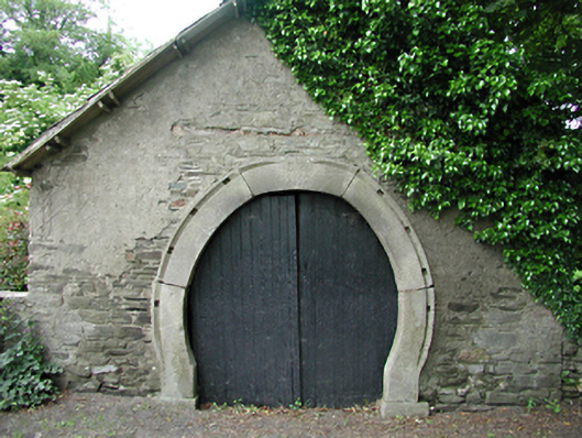 forge/smithyforge/smithy · 751 yd
 IndicatedCairn, unclassified · 774 yd
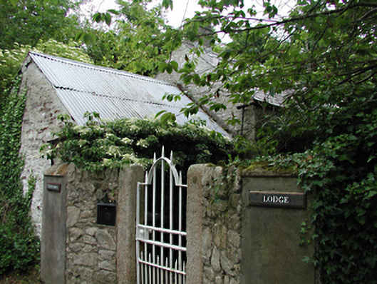 Newtown Lodgeoutbuilding · 1011 yd
 BarrowBarrow, ring-barrow · 1154 yd
 Colmanstown Castle (in ruins)Castle, tower house · 1.4 mi
 Saggart HillMountain / peak · 1.5 mi
 Kilteel WoodWood · 1.7 mi
 Castlewarden MoatCastle, motte and bailey · 1.8 mi
 Athgoe HillMountain / peak · 2.1 mi
 Inniscara GalleryGallery · 2.2 mi
 Rathcoole WoodlandWood · 2.4 mi
 Saint Finian's WellSpring · 2.8 mi
Other information
Photo: National Inventory of Architectural Heritage · Website use allowed for educational or private purposes with source credit