What is recorded here
Marked as being in NW quadrant of ringfort (CO064-021001-). Upright stone and slab set in slight depression noted in this area; probing to a depth of 1m suggested underlying presence of stone-lined chamber. Large slab on surface 7.5m to ENE may also be connected with Man-made underground passage.
From the National Monuments Service (Archaeological Survey of Ireland) record CO064-021002
The monument record does not grant public access. Check the route and ask the landowner before entering private land.
- What survives
- Recorded monument
Places near here
Photo credits
- National Inventory of Architectural Heritage
- Hywel Williams, Geograph · CC BY-SA 2.0
- Materialscientist, Wikimedia Commons · CC BY-SA 3.0
- DavetheMage, Wikimedia Commons · CC BY 3.0
- David Hawgood, Geograph · Creative Commons Attribution-ShareAlike 2.0
- Revd. Matthew Morgan, Wikimedia Commons · Public domain
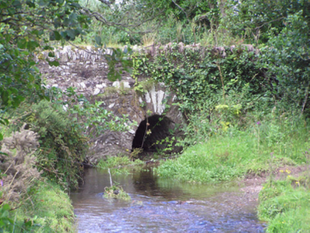 Trantstown BridgeBridge · 1468 yd
 Sing Sing PrisonMonument · 1.1 mi
 Ballingohig BridgeBridge · 1.3 miCastle (Site of)Castle, unclassified · 1.6 miGleeson MemorialMemorial · 1.7 miSarsfields Court (in Ruins)Castle, unclassified · 3.1 miDevonshire's HillMountain / peak · 3.8 miGraveyard in Killuntin NorthGraveyard · 4.8 mi
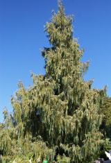 Bhutan Cypress5.0 mi
 Southern magnolia5.0 mi
 Graveyard5.1 mi
 Rathcormac massacreMassacre · 5.6 mi
More archaeology and monuments in County Cork · All of County Cork
What do you know about this place?