What is recorded here
In the centre of a rath (KE057-046----). The Man-made underground passage is marked by two adjacent depressions, one to the NW and the other to the SE. The rectangular NW depression (D 0.4m; 4.7m x 3.2m) on a N-S axis has a large subrectangular prostrate stone (1.7m x 1m x 0.2m) at its S end, possibly a roof lintel. The space (D c. 0.4m) beneath the stone is filled with bottles. The SE depression (D 0.25m; 4m x 2m) is on an E-W axis and is 2m to the SE. According to local information, a large stone covers a passage leading to some chambers. The openings were filled in for safety. This Man-made underground passage is named 'Cave' on the 1846 OS 6-inch map.
Compiled by: Elizabeth Byrne, Ursula Egan and Sheila Ronan, Archaeological Survey Unit, University College, Cork.
Date of upload: 31 January 2011
The monument record does not grant public access. Check the route and ask the landowner before entering private land.
- What survives
- Recorded monument
Places near here
 The Kerry Creamery ExperienceHeritage attraction · 510 yd
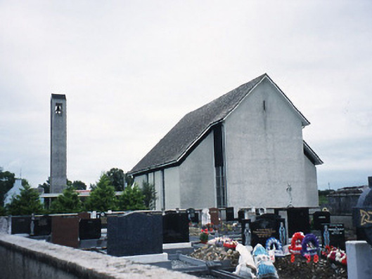 Catholic Church of the Immaculate Conceptionchurch/chapel · 720 yd
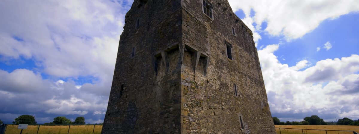 LissareeFairy fort / earthen ringfort · 1.0 mi
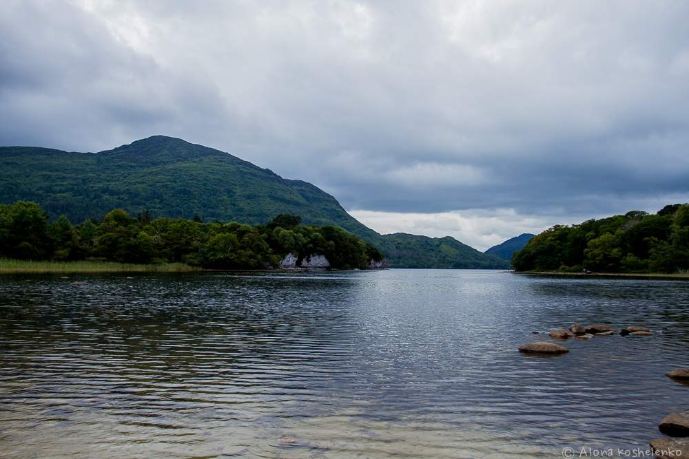 Man-made underground passage in Coolroe NorthMan-made underground passage · 1.1 mi
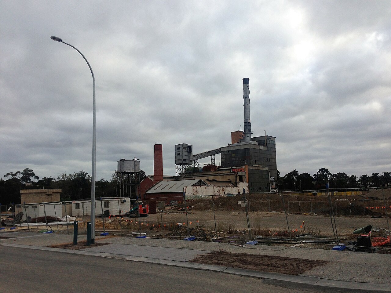 Paper MillMill, paper · 1.4 mi
 Ballymalis CastleCastle · 2.6 mi
 Ballymalis Castle (in ruins)Castle, tower house · 2.6 mi
 Dunloe Ogham StonesHeritage attraction · 4.2 mi
 Japanese pagoda treeJapanese pagoda tree · 4.2 mi
 Clash IslandIslet · 4.3 mi
 Cloon IslandIsland · 4.6 mi
 King Puck statueMemorial · 5.0 mi