What is recorded here
In tillage, in undulating land. This rath is not visible at ground level. According to the landowner, it was levelled in the 1970s at which time a hollowed-out stone was found. It is indicated on the 1846 OS 6-inch map as a roughly D-shaped enclosure (dim. c. 25m N-S) with an almost straight S side (L 30m). On the 1895 OS 6-inch map the NE arc is indicated as a hachured scarp. A Man-made underground passage (KE057-022001-) is associated with this rath.
Compiled by: Elizabeth Byrne, Ursula Egan and Sheila Ronan, Archaeological Survey Unit, University College, Cork.
Date of upload: 31 January 2011
The monument record does not grant public access. Check the route and ask the landowner before entering private land.
- What survives
- Recorded monument
Places near here
 Milleen FortFairy fort / earthen ringfort · 1471 yd
 The Kerry Creamery ExperienceHeritage attraction · 1.3 mi
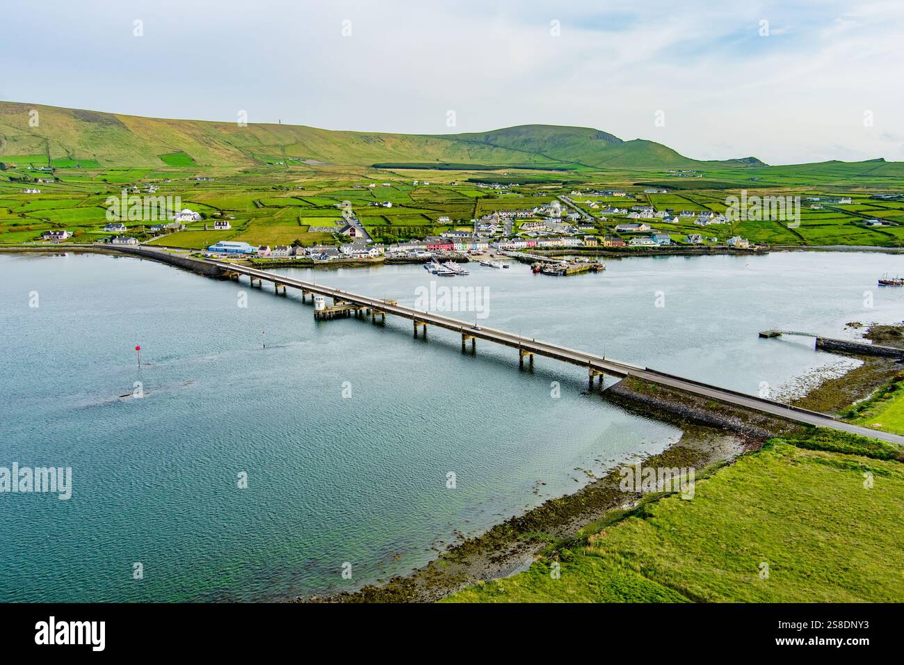 Man-made underground passage in ArdywanigMan-made underground passage · 1.3 mi
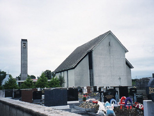 Catholic Church of the Immaculate Conceptionchurch/chapel · 1.4 mi
 Knocknamucklagh Ho.Country house · 2.1 mi
 Fieries CastleCastle · 3.2 mi
 Site of Castle MaineCastle, Anglo-Norman masonry castle · 3.4 mi
 Japanese pagoda treeJapanese pagoda tree · 4.8 mi
 European YewEuropean Yew · 4.8 mi
 Dunloe Ogham StonesHeritage attraction · 4.8 mi
 Clash IslandIslet · 4.9 mi
 Rabbit or Brown IslandIslet · 6.5 mi