What is recorded here
Thirty-eight metres of packed earth still stand on the south-facing slope in Lissavane East, though cattle have worn the ancient boundaries smooth. The fort hides a man-made underground passage beneath its grassy floor, waiting for whoever remembers how to find the entrance. Two more raths sit nearby in the pasture, suggesting a whole neighbourhood of people lived here before the fields swallowed their names.
In pasture, on a S-facing slope. A circular raised area (diam. 38m) defined by an earthen bank (Wth 4.4m; int. H 0.3m; ext. H 0.83m) with an external berm (Wth 1.8m; H 0.65m) NW-NE and by a scarp, with a slight internal rim, NE-NW. An intervening fosse (Wth 2.8m) occurs intermittently. The fosse flattens and widens (Wth 3.4m) along the S arc. A possible outer bank (Wth 3m; int. H 1.65m; ext. H 1.2m) incorporates an irregular field boundary which, in turn, encompasses the rath. A possible outer fosse N-E is defined by a shallow depression. The interior slopes gently down to the S. There is a causeway entrance (Wth 7-8m) at SE, a gateway at NW and gaps (Wth 4m) at SW and NE. The entire rath is poached by cattle. There is a Man-made underground passage (KE057-046001-) in the interior. Two other rath (KE057-044----, KE057-045----) lie c. 250m to the W and c. 150m to the WNW, respectively.
Compiled by: Elizabeth Byrne, Ursula Egan and Sheila Ronan, Archaeological Survey Unit, University College, Cork.
Date of upload: 31 January 2011
The monument record does not grant public access. Check the route and ask the landowner before entering private land.
- What survives
- Recorded monument
Places near here
 The Kerry Creamery ExperienceHeritage attraction · 510 yd
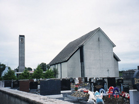 Catholic Church of the Immaculate Conceptionchurch/chapel · 720 yd
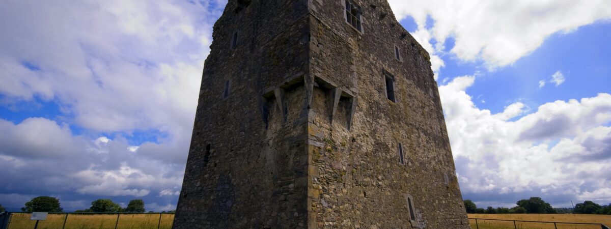 LissareeFairy fort / earthen ringfort · 1.0 mi
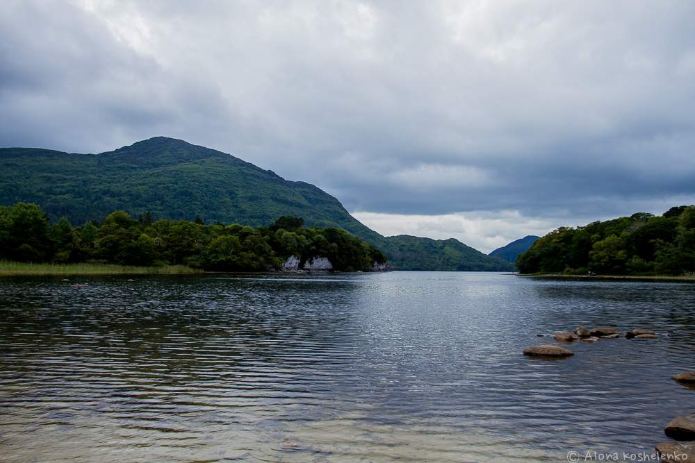 Man-made underground passage in Coolroe NorthMan-made underground passage · 1.1 mi
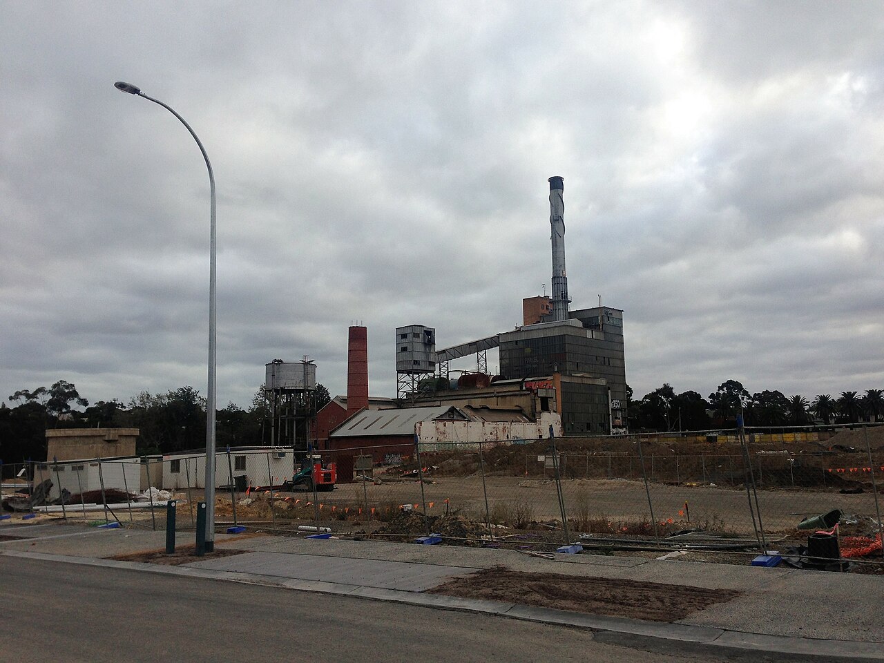 Paper MillMill, paper · 1.4 mi
 Ballymalis CastleCastle · 2.6 mi
 Ballymalis Castle (in ruins)Castle, tower house · 2.6 mi
 Dunloe Ogham StonesHeritage attraction · 4.2 mi
 Japanese pagoda treeJapanese pagoda tree · 4.2 mi
 Clash IslandIslet · 4.3 mi
 Cloon IslandIsland · 4.6 mi
 King Puck statueMemorial · 5.0 mi