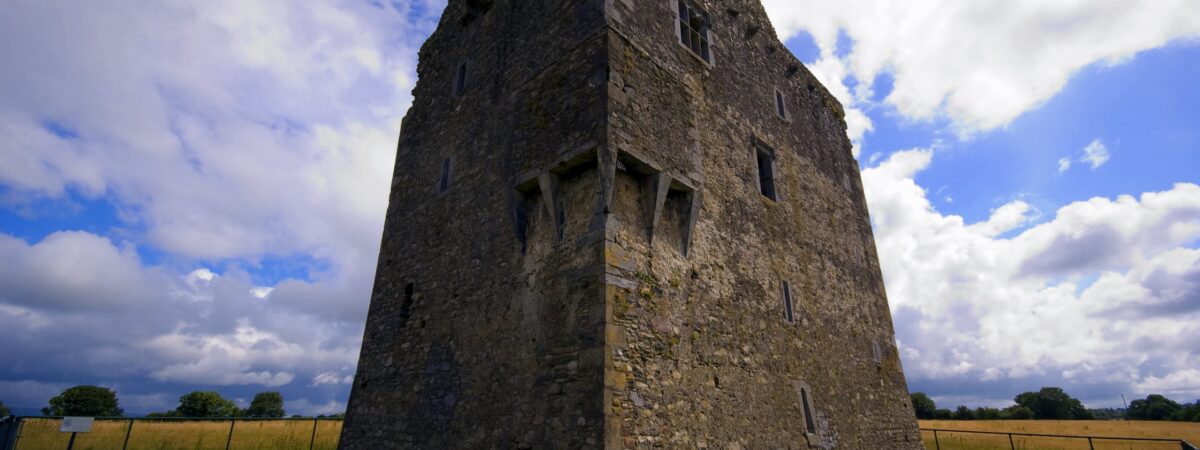
What is recorded here
In pasture, on level ground, c. 15m to the SE of the mill race of the Kerry Woollen Mills. This rath is indicated on the 1895 OS 6-inch map as a roughly circular enclosure (diam. c. 40m). According to local information, it was levelled 'decades ago'.
Compiled by: Elizabeth Byrne, Ursula Egan and Sheila Ronan, Archaeological Survey Unit, University College, Cork.
Date of upload: 31 January 2011
Lissaree, Ballymalis is a likely early-medieval ringfort, indicated on the 1895 Ordnance Survey map as a roughly circular enclosure about 40 meters in diameter, situated near the mill race of the Kerry Woollen Mills. Local tradition associates such sites with fairy lore, and it may have been considered a place of supernatural significance in folklore.
The monument record does not grant public access. Check the route and ask the landowner before entering private land.
- What survives
- Recorded monument
Places near here
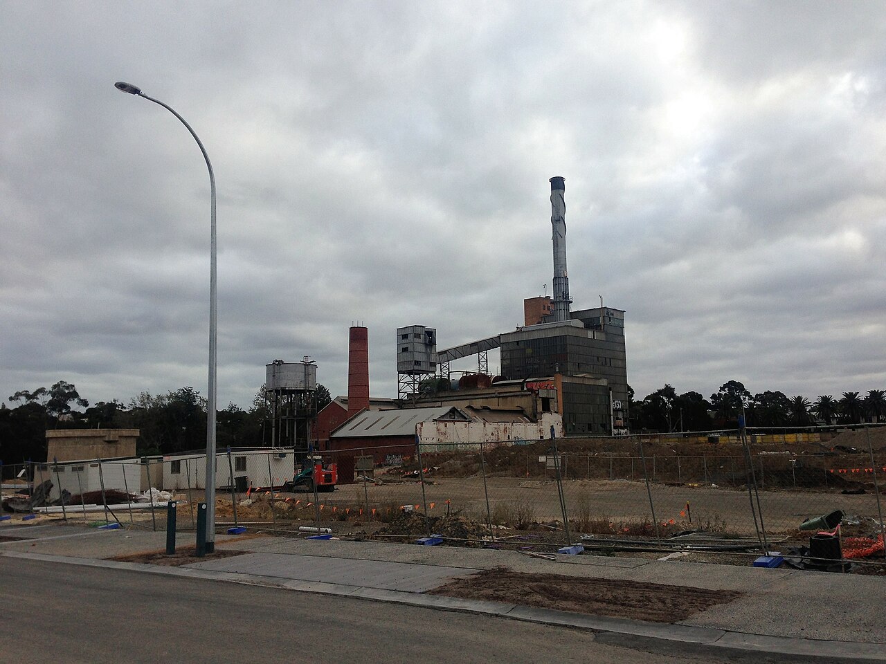 Paper MillMill, paper · 659 yd
 Ballymalis Br.Bridge · 840 yd
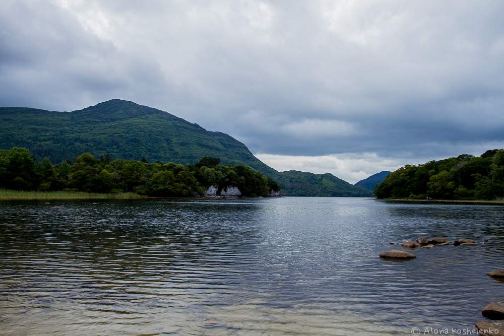 Man-made underground passage in Coolroe NorthMan-made underground passage · 1059 yd
 The Kerry Creamery ExperienceHeritage attraction · 1293 yd
 LissaniskaFairy fort / earthen ringfort · 1.5 mi
 Ballymalis CastleCastle · 1.6 mi
 Ballymalis Castle (in ruins)Castle, tower house · 1.6 mi
 Dunloe Ogham StonesHeritage attraction · 3.6 mi
 Japanese pagoda treeJapanese pagoda tree · 3.7 mi
 European YewEuropean Yew · 3.7 mi
 Clash IslandIslet · 3.9 mi
 Cloon IslandIsland · 4.1 mi
Other information
Photo: Credit not shown in the picture search · Rights wording not checked; contact us if this picture should be removed