What is recorded here
Fate and memory are not the same. You can know every fact and still want to believe the girl is alive. The argument is not about love. It is about whether the claim can be tested.
In pasture, on a S-facing slope. This possible rath is not visible at ground level. It is indicated on the 1846 OS 6-inch map as a circular enclosure (diam. c. 45m) crossed off-centre to the SE by a NE-SW farm road. Aghagarriv Stream is c. 15m to the SE.
Compiled by: Elizabeth Byrne, Ursula Egan and Sheila Ronan, Archaeological Survey Unit, University College, Cork.
Date of upload: 31 January 2011
The monument record does not grant public access. Check the route and ask the landowner before entering private land.
- What survives
- Recorded monument
Places near here
 The Kerry Creamery ExperienceHeritage attraction · 1522 yd
 Burnt spread in FarranmanaghBurnt spread · 1606 yd
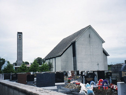 Catholic Church of the Immaculate Conceptionchurch/chapel · 1.0 mi
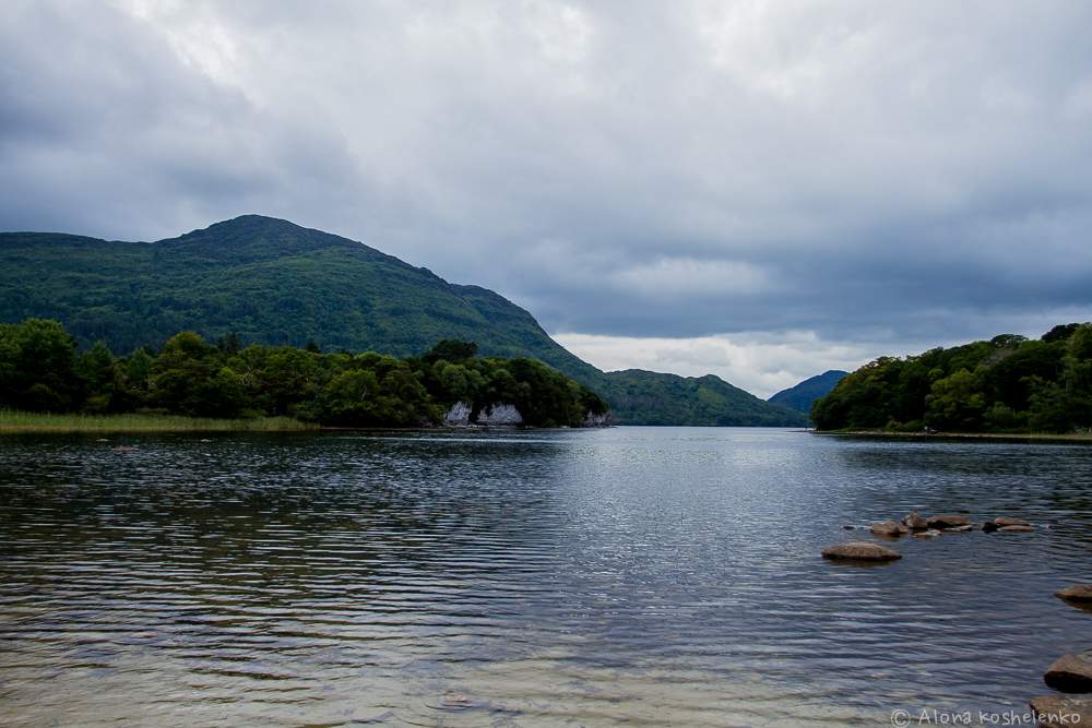 Man-made underground passage in Coolroe NorthMan-made underground passage · 1.3 mi
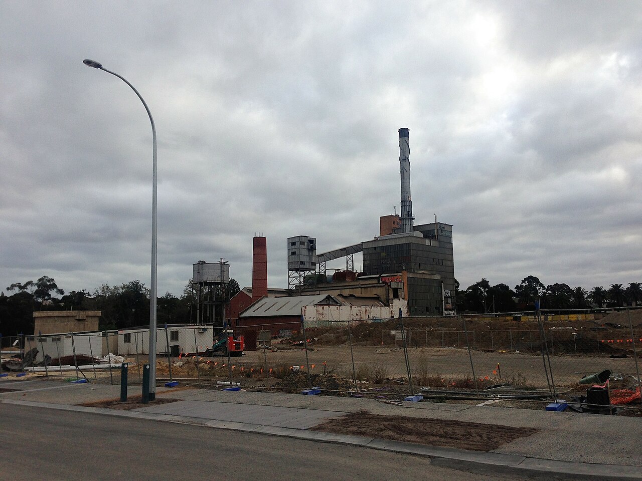 Paper MillMill, paper · 1.8 mi
 Ballymalis CastleCastle · 3.1 mi
 Ballymalis Castle (in ruins)Castle, tower house · 3.1 mi
 Clash IslandIslet · 4.1 mi
 Cloon IslandIsland · 4.4 mi
 Dunloe Ogham StonesHeritage attraction · 4.8 mi
 Japanese pagoda treeJapanese pagoda tree · 4.8 mi
 European YewEuropean Yew · 4.8 mi