
What is recorded here
In pasture, on a N-facing slope. Burnt material (L 3m N-S; D 0.5m) is exposed on the W face of a field boundary. According to local information, a mound was levelled during land reclamation and the burnt material from it was spread over an area (c. 5m N-S; c. 4m E-W) to the W of the field boundary.
Compiled by: Elizabeth Byrne, Ursula Egan and Sheila Ronan, Archaeological Survey Unit, University College, Cork.
Date of upload: 31 January 2011
The monument record does not grant public access. Check the route and ask the landowner before entering private land.
- What survives
- Recorded monument
Places near here
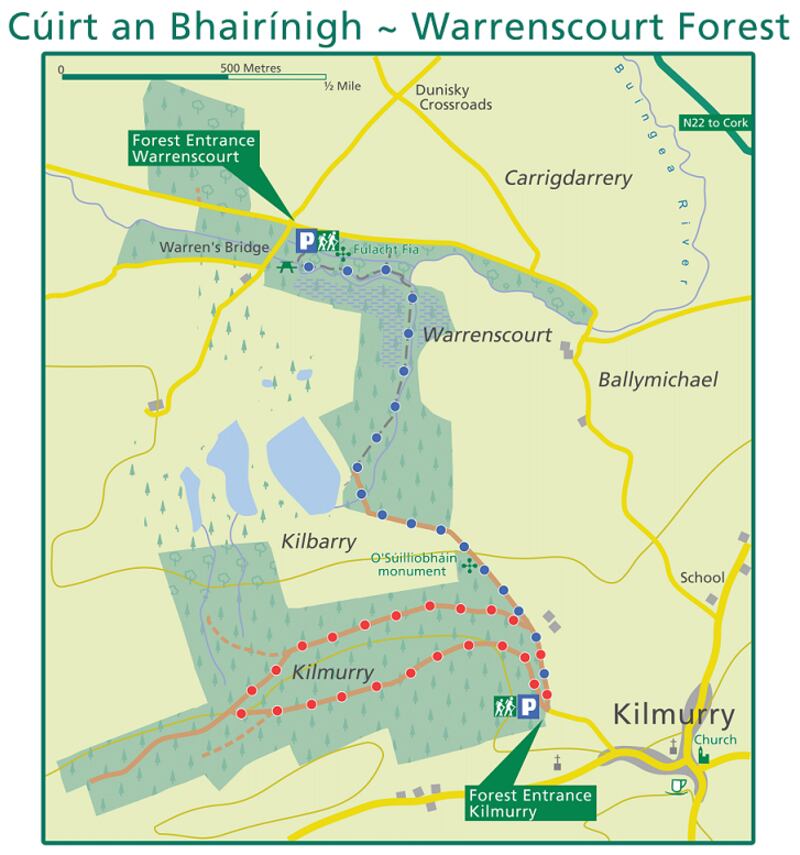 Fulacht fia in KillaclohaneFulacht fia · 1012 yd
 Enclosure in KillaclohaneEnclosure · 1033 yd
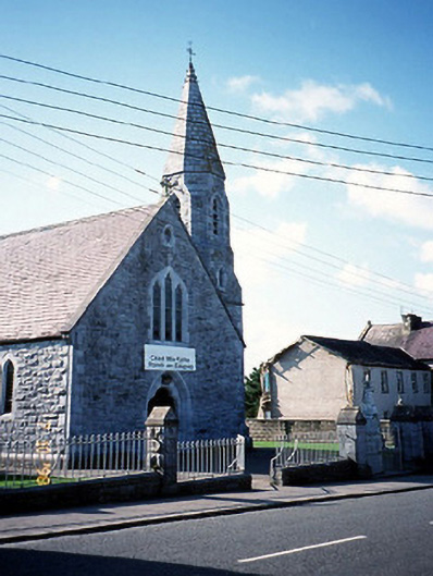 Catholic Church of the Sacred Heartchurch/chapel · 1.5 mi
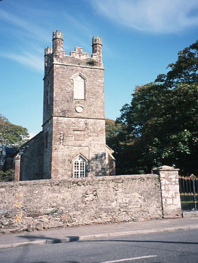 Milltown Church (Kilcolman)church/chapel · 1.5 mi
 CastleCastle, tower house · 1.7 mi
 The Kerry Creamery ExperienceHeritage attraction · 1.7 mi
 Site of Castle MaineCastle, Anglo-Norman masonry castle · 2.2 mi
 Clash IslandIslet · 3.7 mi
 Cloon IslandIsland · 4.1 mi
 Ballygamboon Forest Recreation AreaWood · 4.7 mi
 King Puck statueMemorial · 4.8 mi
 LisnagraveArchaeological place · 5.1 mi
Other information
Photo: Credit not shown in the picture search · Rights wording not checked; contact us if this picture should be removed