
Places near here
Photo credits
- National Inventory of Architectural Heritage
- JohnArmagh, Wikimedia Commons · CC BY-SA 3.0
- Gleneary, Wikimedia Commons · CC BY-SA 4.0
- Willow, Wikimedia Commons · CC BY 2.5
- Mike Searle, Wikimedia Commons · CC BY-SA 2.0
- Tom Quinn, credited by Western People, www.westernpeople.ie
- Mayo Gaels GAA official club site; drone photographer unnamed, mayogaels.com
 Clogher HouseWalled garden · 1029 yd
Explorer Tom Clogher House in Cavan Lower has a walled garden that looks like it’s guarding a state secret, or at least a very good…
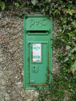 post box1150 yd
Explorer Tom Post box in Clogher is sitting on the wall like it owns the place, sporting some fancy old Irish lettering that looks…
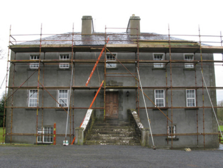 Carrownacon HouseFarm house · 1729 yd
Explorer Tom Carrownacon House is showing off its panoramic views over the lough because apparently, just being a farmhouse isn’t…
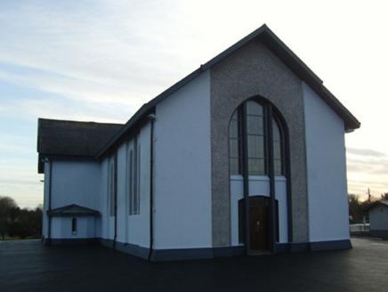 Saint Mary's Catholic ChurchChurch/chapel · 1.2 mi
Explorer Tom Saint Mary's Catholic Church in Carrownacon has a deep, personal suspicion of the postman for never delivering the…
 Church (in Ruins)Church · 1.3 mi
Explorer Tom Church in Castlecarra nearly got famous when a film crew almost set up camp right next to it, but they chose the abbey…
 Castleburke in ruinsCastle, tower house · 1.5 mi
Explorer Tom Castleburke in ruins is famous for a shortcut that isn't actually a shortcut, just a very long walk. It sits on Lough…
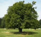 European hornbeam2.0 mi
Explorer Tom European hornbeam once got into a bidding war with a very determined cow who wanted to buy its bark for chewing. The…
 CastlecarraGates/railings/walls · 2.0 mi
Explorer Tom Castlecarra gate screen in Castlecarra took forty cups of tea to build, or so the stones claim. It’s a relic from when…
 Castle CarraCastle · 2.1 mi
Explorer Tom Castle Carra is where Saint Patrick probably looked around and said, 'This is too much stone for one day' and moved on.…
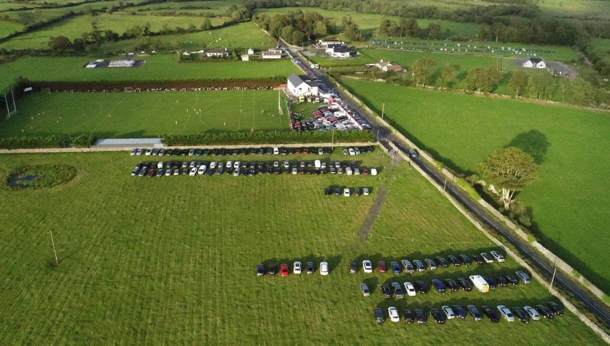 Ray Prendergast Memorial Park, Ballintubber GAAGAA ground · 3.3 mi
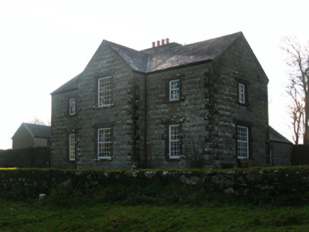 Luffertaun HouseFarm house · 3.6 mi
Explorer Tom Look at Luffertaun House! It’s sitting in an old castle wall like it owns the place. Rumour says there’s a biscuit tin…
 Abbey Park, Mayo GaelsGAA ground · 4.6 mi
More archaeology and monuments in County Mayo · All of County Mayo

What do you know about this place?Tap to add a comment or ask a question