
What is recorded here
The following description is derived from both the published 'Archaeological Inventory of County Louth' (Dublin: Stationery Office, 1986) and the 'Archaeological Survey of County Louth' (Dublin: Stationery Office, 1991). In certain instances the entries have been revised and updated in the light of recent research.
Date of upload/revision: 17 July 2007
Situated in rocky outcrop on a hill. Drystone-built Man-made underground passage (CLAJ 1919-20, 388; CLAJ 1930, 182). Now inaccessible.
The monument record does not grant public access. Check the route and ask the landowner before entering private land.
- What survives
- Recorded monument
Places near here
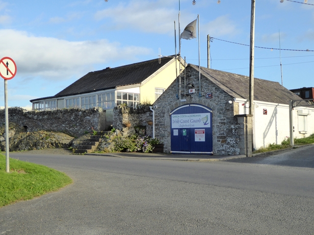 Port OrielPicnic place · 378 yd
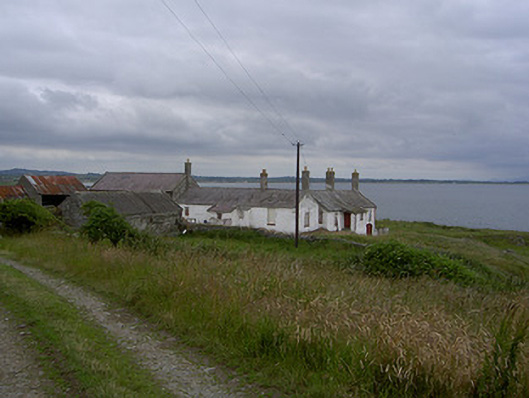 Killabushfarm house · 743 yd
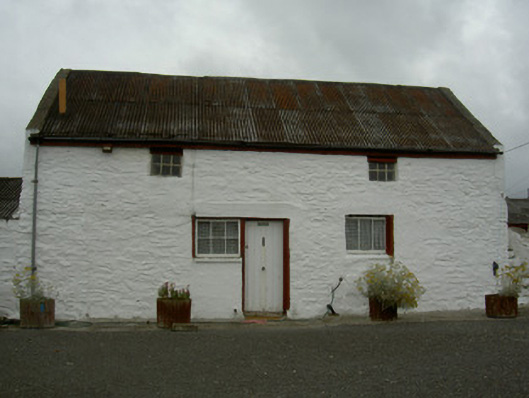 farmyard complexfarmyard complex · 817 yd
 Man-made underground passage in ClogherMan-made underground passage · 1007 yd
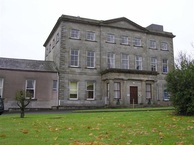 St. Denniss WellHoly well · 1040 yd
 Castle RuinsCastle, tower house · 1610 yd
 Termonfeckin CastleCastle · 2.9 mi
 Chapel (in Ruins), GraveyardChurch · 4.4 mi
 Moneyveg WoodForest · 4.6 mi
 Graveyard in DysartGraveyard · 4.9 mi
 Sweet baySweet bay · 5.0 mi
 Beaulieu House and GardensHeritage attraction · 5.3 mi
Other information
Photo: Credit not shown in the picture search · Rights wording not checked; contact us if this picture should be removed