What is recorded here
In the NW quadrant of a cashel (SL036-050001-). An opening leads to a partially blocked passage (Wth 0.6m) roofed by stone lintels.
From the National Monuments Service (Archaeological Survey of Ireland) record SL036-050002
Places near here
Photo credits
- National Inventory of Architectural Heritage
- Didier Descouens, Wikimedia Commons · CC BY-SA 4.0
- Pamela Norrington, Geograph · CC BY-SA 2.0
- Richard Webb, Geograph · CC BY-SA 2.0
- Alan Reid, Geograph · CC BY-SA 2.0
- Newbert12, Wikimedia Commons · CC BY-SA 4.0
- JohnArmagh, Wikimedia Commons · CC BY-SA 3.0
- Kay Atherton, Geograph · CC BY-SA 2.0
 Castle (in Ruins)Castle, tower house · 1101 yd
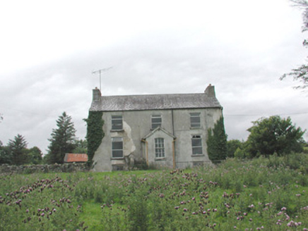 The GlebeRectory/glebe/vicarage/curate's house · 1268 yd
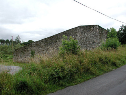 handball alley1464 yd
 Hawthorn3.8 miCastle Carragh in RuinsCastle, unclassified · 3.9 miKnockasliggaunMountain / peak · 4.3 mi
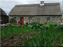 Hennigan's Heritage CentreHeritage attraction · 4.5 mi
 Lough Talt TrailVisitor information · 4.6 mi
 Largan HillMountain / peak · 5.4 mi
 IndicatedWedge tomb · 6.6 mi
 Round Tower8.3 mi
 Lough CullinViewpoint · 10 mi
More archaeology and monuments in County Sligo · All of County Sligo
What do you know about this place?Tap to add a comment or ask a question