What is recorded here
Cruckavilla still stands in County Mayo, a green hillock holding a ruined cave beneath its skin. The intact chamber measures thirty-five centimetres higher than a person stands tall, yet collapsed slabs and forgotten soil have swallowed most of the passage. Whoever built that roof likely watched rain strike the lintels while standing inside the dark, knowing the walls would outlast every name they spoke.
In a rath (MA119-021001-) which crowns a hillock named Cruckavilla on the 1915 OS 6-inch map.
This Man-made underground passage is indicated as ‘Cave’ in the W half of the rath on the 1915 OS 6-inch map. The visible remains consist of a passage extending E-W for 13-14m from W of centre towards the rath scarp at W; a short section of the passage is intact, the remainder is collapsed.
The intact section of the passage (L 3.5m E-W; Wth base 1.55m, top 0.97m; H 1.76m) is situated just W of centre in the rath. It has drystone walls and lintel roofing. The basal course of the wall consists of large, rough upright stones/slabs, above which are 5-7 courses of roughly square blocks. The wall incline inward slightly towards the top where a projecting corbel course supports massive roof lintels. The passage narrows (Wth 1.19m base, 0.94m top) at its E end. The roof lintels underlie c. 0.45m of soil and sod. The earthen floor is strewn with loose stones. The E and W ends of this section of passage are partly blocked by collapsed roof slabs. To W of this intact section, the passage is collapsed and delintelled, and is evident as a sod-covered depression (Wth 2.5m at E, 4m at W; D 1.3m), which extends for 9m to W, ending at the rath scarp.
Two large slabs built into a field wall at the base of the N slope of the hillock may be lintels robbed from the Man-made underground passage.
Compiled by: Jane O’Shaughnessy
Date of upload: 23 June 2023
The monument record does not grant public access. Check the route and ask the landowner before entering private land.
- What survives
- Recorded monument
Places near here
 IndicatedFairy fort / earthen ringfort · 487 yd
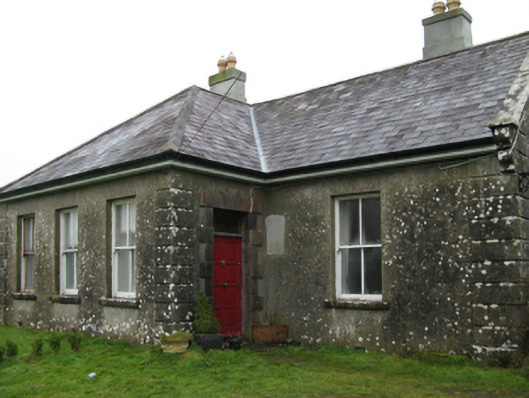 Ballyglass Housefarm house · 908 yd
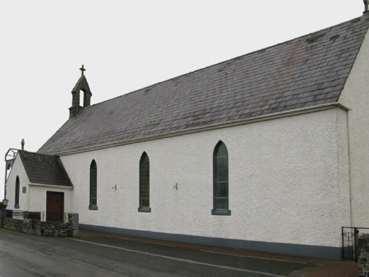 Saint Patrick's Catholic Churchchurch/chapel · 1173 yd
 Enclosure in CoolconEnclosure · 1.2 mi
 Castle (in ruins)Castle, unclassified · 1.6 mi
 Castle in ruinsCastle, unclassified · 2.7 mi
 Geoffrey's WoodForest · 3.3 mi
 Oak WoodForest · 3.4 mi
 Mass RockNamed rock · 8.0 mi
 The Heathfarm house · 1524 yd
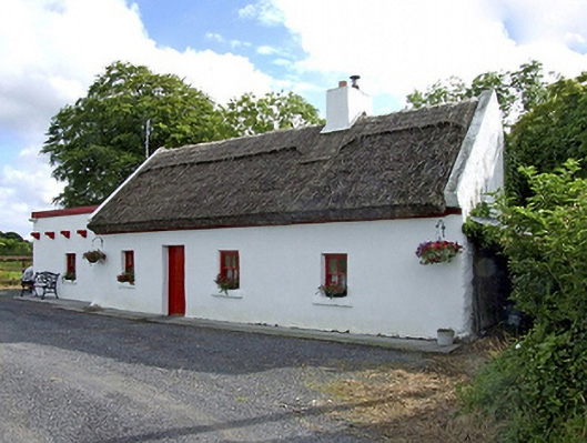 Beech Tree Cottagehouse · 1.4 mi
 Hillfort in BelmontHillfort · 1.6 mi