
Places near here
Photo credits
- National Inventory of Architectural Heritage
- Garry Dickinson, Geograph · CC BY-SA 2.0
- Miguel Angel Masegosa Martínez, Wikimedia Commons · CC BY 2.0
- Maker named on the Wikimedia Commons picture page · CC BY-SA 3.0
- Mike Searle, Geograph · CC BY-SA 2.0
- XNukes, Wikimedia Commons · CC BY-SA 4.0
- Kieran Campbell, Geograph · Creative Commons Attribution-ShareAlike 2.0
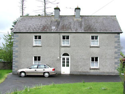 Reask HouseFarm house · 1.0 miJohn Mac MahonMemorial · 1.3 mi
 J. KiernanHouse · 1.3 mi
 Moat of KilbegCastle, motte and bailey · 1.8 miOwenroe and Moynalty DrainageMemorial · 2.2 mi
 Sweet Chestnut2.4 mi
Explorer Tom Sweet Chestnut in County Meath would make Saint Patrick choke on his asparagus. It's too sweet for its own good, like a toddler with a lollipop. Stand still and listen, the wind tells it better than me.
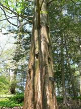 Dawn Redwood2.4 mi
Explorer Tom Dawn Redwood in County Meath has a bird that refuses to leave even when it’s snowing, which is frankly rude for everyone else. It looks like it fell out of a prehistoric movie set. Tell the next person you meet it's haunted. It might be.
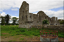 IndicatedHouse, fortified house · 3.2 mi
 Spire of LloydMonument · 4.2 mi
 Grave YardGraveyard · 6.0 mi
Explorer Tom Barrow in Bellewstown in Meath is a tiny seven-metre circle on a ridge, barely taller than a toddler. A local hero once saved it from being used as a goat toilet. If it's closed, admire it from the road like a polite stalker.
More archaeology and monuments in County Meath · All of County Meath

What do you know about this place?Tap to add a comment or ask a question