What is recorded here
From OpenStreetMap (© OpenStreetMap contributors) n4302212012
Places near here
Photo credits
- Nigel Cox, Wikimedia Commons · CC BY-SA 2.0
- National Inventory of Architectural Heritage
- Maker not stated on source page, www.alamy.com
- Maker not stated on source page, en.wikipedia.org
- Maoileann / Wikimedia Commons, commons.wikimedia.org
- Maker not stated on source page, www.gettyimages.com
- Maker not stated on source page, www.tripadvisor.com
- Maker not stated on source page, ru.pinterest.com
- Golfing in Ireland; photographer not stated, Source publisher
 Saint Mary's Catholic ChurchChurch/chapel · 168 yd
Explorer Tom Saint Mary's Catholic Church in Martramane holds the world record for most silent prayers per square foot. It’s a…
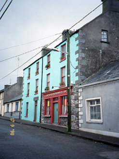 O'Donnell'sHouse · 233 yd
Explorer Tom O'Donnell's in Martramane would say to the place that replaced it that at least it has a solid reputation for being…
 Ogham stone in MartramaneOgham stone · 422 yd
Explorer Tom Ogham stone in Martramane spent decades acting as a lintel in a cottage, probably getting complaints from the roof. A…
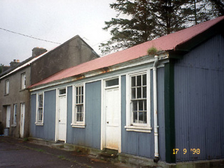 Castlegregory Railway StationRailway station · 492 yd
Explorer Tom Castlegregory Railway Station in Martramane opened in 1891 but I bet you it was there for the Titanic. It’s been closed…
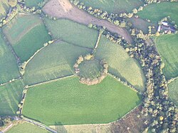 Fairy fort / earthen ringfort in MartramaneFairy fort / earthen ringfort · 601 yd
Explorer Tom Fairy fort / earthen ringfort in Martramane is gone because someone built a house on it. The hidden treasure underneath…
 Castlegregory GAA pitchGAA ground · 632 yd
 Fairy fort / earthen ringfort in Tullig (corkaguiny By., Castlegregory Ed)Fairy fort / earthen ringfort · 1296 yd
Explorer Tom This semi-circle in Tullig thinks the road leading to it is too flashy for its taste. It prefers the quiet, stony vibes…
 Standing stone in KillineyStanding stone · 1577 yd
Explorer Tom Standing stone in Killiney: A fairy dispute over parking rights knocked this one down years ago. It’s still lying…
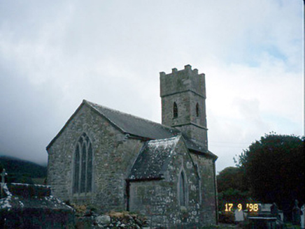 Saint Brendan's Church (Killiney)Church/chapel · 1602 yd
Explorer Tom Saint Brendan's Church (Killiney) is secretly proud of one specific potato it grew in 1815. It’s been guarding it under…
 Bullaun stone in KillineyBullaun stone · 1603 yd
Explorer Tom Bullaun stone in Killiney: People think this is a shortcut, but it's just a big hole with attitude. It sits by the…
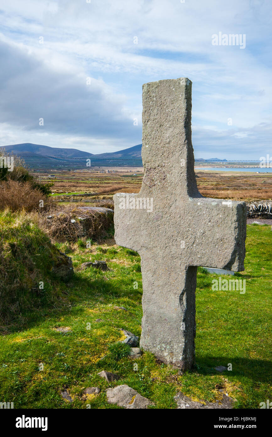 Stone CrossCross, High cross · 1604 yd
Explorer Tom Stone Cross in Killiney almost got famous when a tourist mistook it for a giant paperweight and tried to lift it. It…
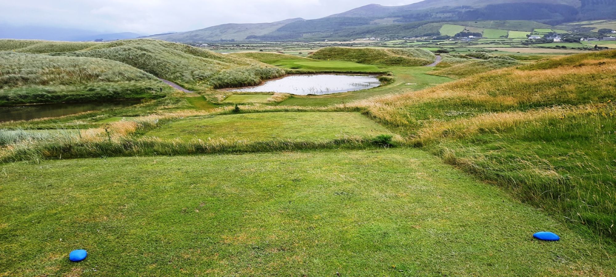 Castlegregory Golf ClubGolf course · 1.8 mi
More viewpoints and information in County Kerry · All of County Kerry

What do you know about this place?Tap to add a comment or ask a question