What is recorded here
It is likely that Castlebank House, which is a late 19th century remodeling of an earlier 18th century farmhouse, stands on the site of this castle. A keystone from a mantle piece decorated with the O'Brian coat of arms and dated 1578 (CL063-010001-) is built into the gable of the two-storey store outside the main entrance gate to the yard (see attached report). Clare (unpublished report). Uploaded courtesy of R. Ua Cróinín and M. Breen.
From the National Monuments Service (Archaeological Survey of Ireland) record CL063-010
The monument record does not grant public access. Check the route and ask the landowner before entering private land.
- What survives
- Recorded monument
Places near here
Photo credits
- Chris Allen, Geograph · Creative Commons Attribution-ShareAlike 2.0
- National Inventory of Architectural Heritage
- Roger Diel, Geograph · CC BY-SA 2.0
- Garry Dickinson, Wikimedia Commons · CC BY-SA 2.0
- Hywel Williams, Geograph · CC BY-SA 2.0
- Jon Sullivan, Wikimedia Commons · Public domain
- Miguel Angel Masegosa Martínez, Wikimedia Commons · CC BY 2.0
- Dieglop, Wikimedia Commons · CC BY-SA 4.0
- Joseph Mischyshyn, Geograph · Creative Commons Attribution-ShareAlike 2.0
- Oliver Dixon, Geograph · Creative Commons Attribution-ShareAlike 2.0
- P L Chadwick, Geograph · CC BY-SA 2.0
 Ardnacrusha Power StationHydroelectric power station · 696 yd
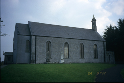 Saint Patrick's Catholic ChurchChurch/chapel · 913 yd
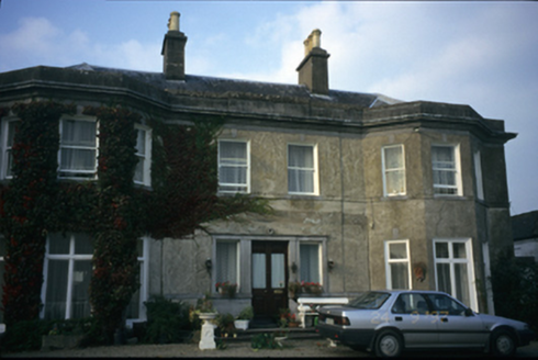 Quinsborough HouseCountry house · 1253 yd
 Aharinagh Castle (in ruins)Castle, unclassified · 3.4 mi
_-_geograph.org.uk_-_6519496.jpg/250px-Castles_of_Munster,_Castle_Troy,_Limerick_(1)_-_geograph.org.uk_-_6519496.jpg "Photo: Garry Dickinson, Wikimedia Commons · CC BY-SA 2.0") Castle Troy (in ruins)Castle, tower house · 3.4 mi
Castle Troy (in ruins)Castle, tower house · 3.4 mi Cratloe WoodsForest · 4.7 mi
 Bunratty CastleCastle · 8.0 mi
 Sweet Chestnut8.1 mi
 Bunratty CastleHouse · 8.1 mi
 Graveyard8.2 mi
 TobermurraghHoly well · 10 mi
 Brian Boru Heritage CentreVisitor information · 10 mi
More castles and forts in County Clare · All of County Clare
What do you know about this place?