What is recorded here
Rathtoe castle appeared on the Down Survey in 1655 but vanished from every later record, denying scholars the chance to measure its rooms or judge its defences. The surveyors drew what they saw, yet nobody has marked the exact spot since. Perhaps the fields swallowed the walls or the families forgot the name. A castle without a foundation becomes a question rather than a fact.
The following description is derived from the published 'Archaeological Inventory of County Carlow' (Dublin: Stationery Office, 1993). In certain instances the entries have been revised and updated in the light of recent research.
Date of upload/revision: 17 July 2007
Castle shown here on Down Survey (1655-6) map. The exact location of the castle in Rathtoe townland is unknown.
The monument record does not grant public access. Check the route and ask the landowner before entering private land.
- What survives
- Recorded monument
Places near here
 RathtoeEnclosure · 349 yd
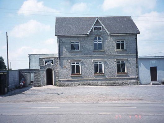 school master's houseschool master's house · 487 yd
 Rath MahonFairy fort / earthen ringfort · 489 yd
 Saint Patrick's Catholic Churchchurch/chapel · 492 yd
 Site of CastleCastle, unclassified · 1.2 mi
 Kilmurry Church (in ruins), GraveyardChurch · 1.2 mi
 Ballynunnery Castle in ruinsCastle, unclassified · 1.6 mi
 Church (in ruins), GraveyardChurch · 2.7 mi
 Pedunculate OakPedunculate Oak · 3.5 mi
 European ashEuropean ash · 4.0 mi
 Altamont Gardens MapVisitor information · 4.6 mi
 Altamont House and GardensHeritage attraction · 4.6 mi