What is recorded here
Raharney Castle was a tower house in Farbill Barony, Westmeath, still standing in repair when surveyed in 1655. It belonged to the Earl of Clanrickard and Nicholas Dalton, yet no exact spot has been recovered. The castle may have watched roads, fields or water, but its chambers and purpose have slipped from the land.
The precise location of Raharney Castle has not been identified. The castle is depicted on the 1655 Down Survey map of Farbill barony (NLI, MS 723-4). Rathfarne Castle described in the 1655 terrier of the Down Survey map of Farbill Barony as one of 'two castles in repaire' (ibid.). The castle is depicted as a tower house type structure standing on lands belonging to the Earl of Clanrickard and Nicholas Dalton in 1640 on the Down Survey map of Farbill Barony (ibid.). The castle is not depicted on any edition of the OS 6-inch maps.
Compiled by: Caimin O'Brien
Date of upload: 10 October 2016
Raharney Castle, a tower house, is recorded on the 1655 Down Survey map of Farbill barony, though its exact location remains unidentified. It is remembered as part of the medieval landscape of the area, reflecting the defensive and territorial structures of early modern Ireland.
The monument record does not grant public access. Check the route and ask the landowner before entering private land.
- What survives
- Recorded monument
Places near here
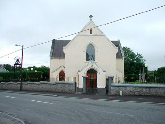 Saint Brigid's Catholic Churchchurch/chapel · 518 yd
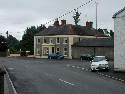 Riverview Househouse · 579 yd
 IndicatedFairy fort / earthen ringfort · 604 yd
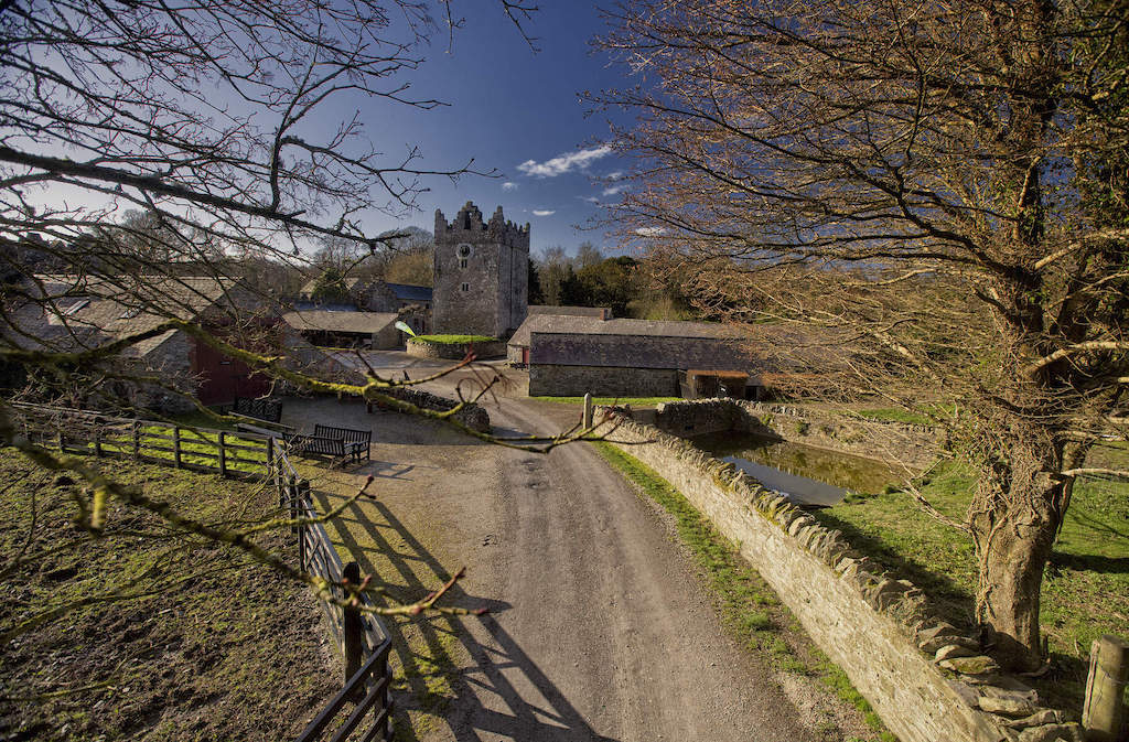 CastleCastle, unclassified · 1506 yd
 Enclosure in Joristown LowerEnclosure · 1.1 mi
 Rathwire Moat & CastleCastle, motte and bailey · 2.0 mi
 ScregganWood · 3.3 mi
 GinkgoGinkgo · 4.2 mi
 Croppies' GraveMemorial · 7.2 mi
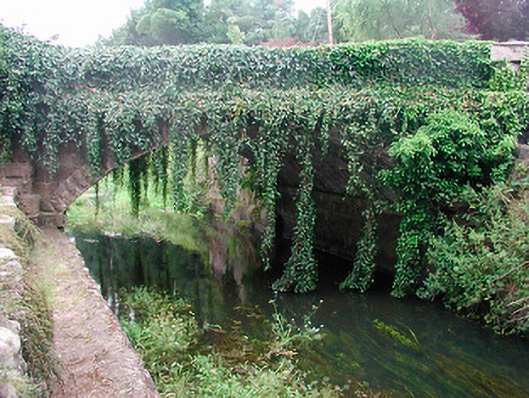 bridgebridge · 623 yd
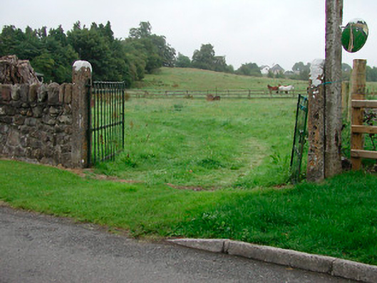 gates/railings/wallsgates/railings/walls · 779 yd
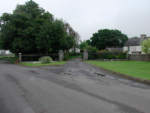 Grange More Housegates/railings/walls · 813 yd