
What is recorded here
Situated on gently sloping ground, overlooking low-lying, rough pasture to S and SW. Depicted on the 1837 ed. OS 6-inch map as a circular-shaped earthwork associated with a castle (WM024-155----). This enclosing earthwork or ringwork could be the grass-covered wall footings of a collapsed bawn wall or could be the…
Read the whole record
From the National Monuments Service (Archaeological Survey of Ireland) record WM024-155001
Places near here
Photo credits
- National Inventory of Architectural Heritage
- Maker not stated on source page, www.dreamstime.com
- Maker not stated on source page, uk.finance.yahoo.com
- Maker not stated on source page, theirishaesthete.com
- Wayne77, Wikimedia Commons · CC BY-SA 3.0
- J McCauley (as credited in photo caption), www.westmeathindependent.ie
- Photographer not named on GAA.ie article, www.gaa.ie
 Killgarvan HouseHouse · 563 yd
Explorer Tom Killgarvan House has a prophecy that it will win the lottery, but it forgot to buy the ticket. The outbuildings are…
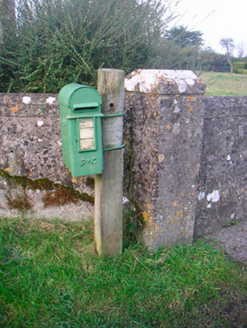 post box640 yd
Explorer Tom This post box in Aghafin is pretending to have an imaginary twin across the sea. It’s still taking letters like it…
 Saint Brigid's Catholic ChurchChurch/chapel · 783 yd
Explorer Tom Saint Brigid's Catholic Church in Aghafin would bring a copper cupola to any party, which is either genius fashion or…
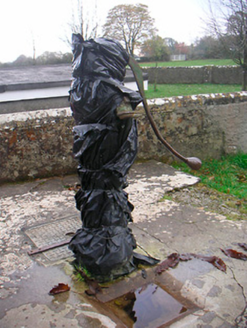 water pump792 yd
Explorer Tom The water pump in Bracknahevla would put on its dating profile: 'Rustic, reliable, and I know where all the clean water…
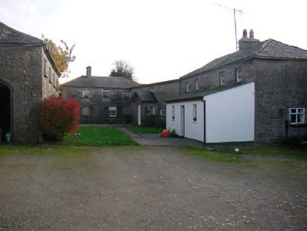 Mosstown HouseOutbuilding · 1151 yd
Explorer Tom Mosstown’s outbuildings are standing there like giants who forgot they were supposed to be small. They lost their main…
 Fairy fort / earthen ringfort in Ballinkeeny or MosstownFairy fort / earthen ringfort · 1657 yd
Explorer Tom Fairy fort in Ballinkeeny is the life of the party, showing off its ruined wall like it’s wearing a tuxedo to a wedding…
 Killeenbrack CastleCastle, tower house · 1750 yd
Explorer Tom Killeenbrack Castle has been changing its name so much it's got identity issues, like a chameleon who can't commit to…
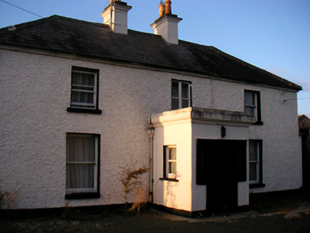 Killaroo HouseHouse · 1.1 mi
Explorer Tom Killaroo House looks like it took a nap in the middle of the Famine and woke up looking surprisingly put-together. I…
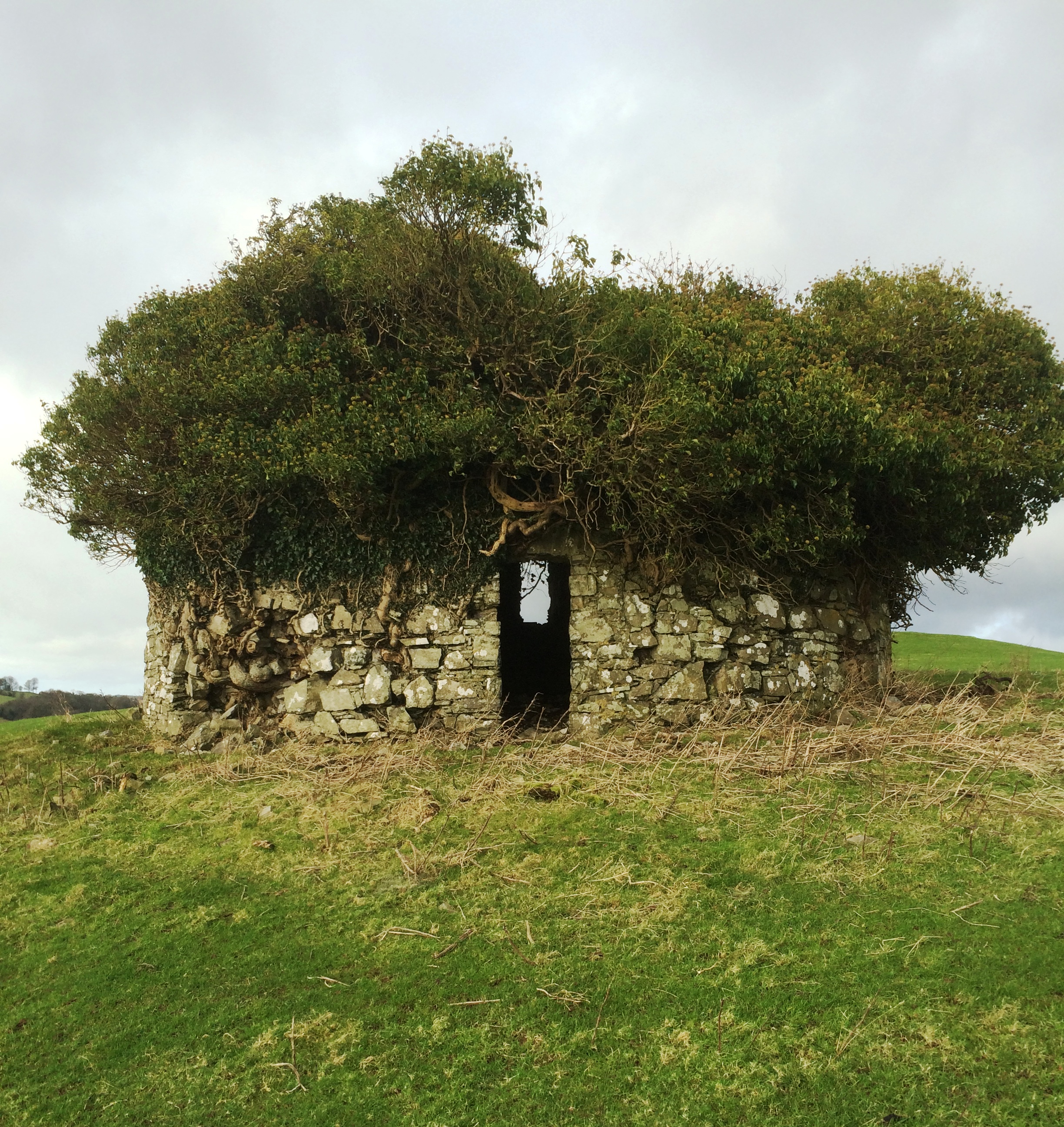 Fairy fort / earthen ringfort in Streamstown (moycashel By.)Fairy fort / earthen ringfort · 1.2 mi
Explorer Tom Fairy fort in Streamstown is standing proud despite having two gaps in its wall. It’s basically an open-air lounge with…
 Japanese pagoda tree1.8 mi
Explorer Tom Japanese pagoda tree in County Westmeath was once ruled by a goat who decided it had the best view of the grazing land…
 St. Joseph's GAA pitchGAA ground · 2.4 mi
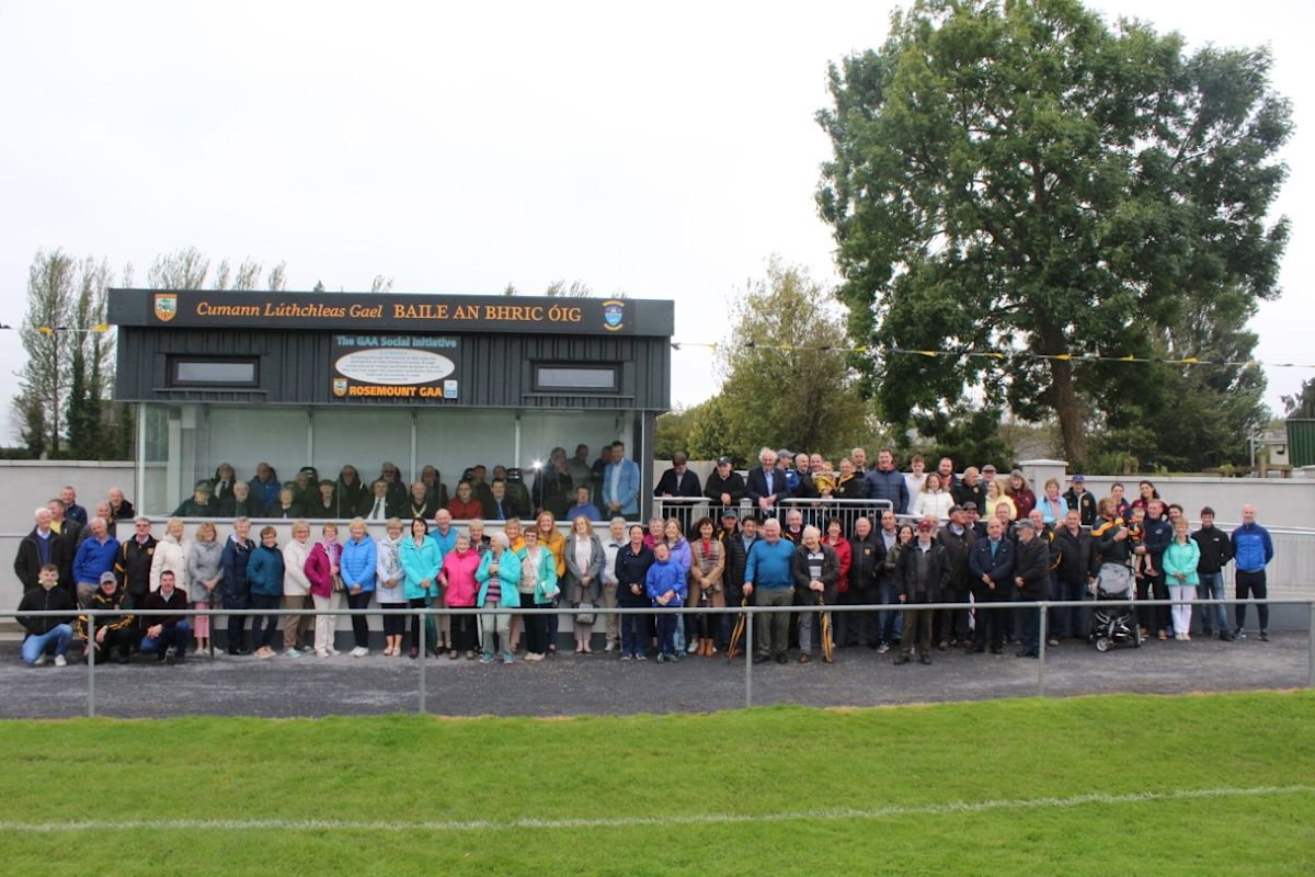 Rosemount GAAGAA ground · 2.6 mi
More castles and forts in County Westmeath · All of County Westmeath

What do you know about this place?Tap to add a comment or ask a question