What is recorded here
Situated within a tree plantation. Motte is a high, very steep-sided, circular mound (diam. at base c. 28m; H c. 3.5m) with a flat-topped summit (diam. c. 22m N-S). It is enclosed by a fosse which is wide and deep from NW-N-ENE and identifiable only as slight traces from ENE-E-ESE. Site is skirted by a modern laneway from SSE-S-W. An earlier report (SMR file, 1970) described a segment of mortared masonry built against the counterscarp at NW which may have formed part of a bridge connecting the site with 'Holywell House' c. 25m to ENE. 30/1976).
Situated within a tree plantation. Motte is a high, very steep-sided, circular mound (diam. at base c. 28m; H c. 3.5m) with a flat-topped summit (diam. c. 22m N-S). It is enclosed by a fosse which is wide and deep from NW-N-ENE and identifiable only as slight traces from ENE-E-ESE. Site is skirted by a modern laneway from SSE-S-W. An earlier report (SMR file, 1970) described a segment of mortared masonry built…
From the National Monuments Service (Archaeological Survey of Ireland) record CV037-042
The monument record does not grant public access. Check the route and ask the landowner before entering private land.
- What survives
- Recorded monument
Places near here
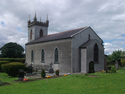 St Paul's Church of Ireland ChurchChurch/chapel · 460 yd
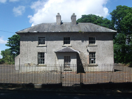 school480 ydIndicatedFairy fort / earthen ringfort · 568 ydFour Half MoonsEnclosure · 1.1 miCrane IslandIslet · 1.1 miGull IslandIslet · 1.3 miCastleCastle, motte · 1.5 miIn Loving Memory of Killian CaseyMemorial · 1.8 miDeer ParkWood · 2.0 miMuldarry PointHeadland · 2.0 miAghakilmore LowerMountain / peak · 2.1 mi
 Ross CastleCastle, tower house · 2.4 mi
Pictures: National Inventory of Architectural Heritage; Mike Searle, Geograph · CC BY-SA 2.0
More castles and forts in County Cavan · All of County Cavan
What do you know about this place?