What is recorded here
Circular mound (diam. of base c. 28m) enclosed by a fosse. Mound is high (H 3-4m), steep-sided and flat-topped (diam. of summit 19.7m N-S). Fosse is best preserved from N-E-SE. Original entrance not recognisable. On the summit at SE there is an approximately circular round-bottomed depression (diam. 6.2m; D 0.3m) of unknown significance.
From the National Monuments Service (Archaeological Survey of Ireland) record CV041-018
The monument record does not grant public access. Check the route and ask the landowner before entering private land.
- What survives
- Recorded monument
Places near here
Gull IslandIslet · 468 ydCrane IslandIslet · 703 ydTony FortArchaeological place · 989 ydIndicatedFairy fort / earthen ringfort · 1591 yd Moydristan HouseHouse · 1.0 miKilnahard HouseCountry house · 1.1 miCarrick RockWood · 1.3 miCastleCastle, motte · 1.5 miMoynagh Upper ForestForest · 1.7 miCarrickMountain / peak · 1.7 miMuldarry PointHeadland · 1.9 miMyles O'Reilly MonumentMemorial · 2.4 mi
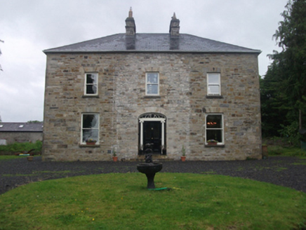 Moydristan HouseHouse · 1.0 mi
 Kilnahard HouseCountry house · 1.1 miCarrick RockWood · 1.3 miCastleCastle, motte · 1.5 miMoynagh Upper ForestForest · 1.7 miCarrickMountain / peak · 1.7 miMuldarry PointHeadland · 1.9 mi
 Myles O'Reilly MonumentMemorial · 2.4 mi
Pictures: National Inventory of Architectural Heritage; Cavanphotography, Wikimedia Commons · CC BY-SA 4.0
More castles and forts in County Cavan · All of County Cavan
What do you know about this place?