What is recorded here
Large circular area (int. diam. 102m N-S) enclosed by a low earthen bank and vague traces of a fosse identifiable only in SE quadrant. A modern drain occurs at the external foot of bank in NE quadrant. The site is divided into four roughly equal portions by a crossroads. The NW and SW quadrants have been levelled and no surface remains are now identifiable. Original entrance not recognisable. The site was formerly utilised as a tree-ring. (CUCAP ALJ 77)
The above description is derived from the published 'Archaeological Inventory of County Cavan' (Dublin: Stationery Office, 1995). In certain instances the entries have been revised and updated in the light of recent research.
Date of upload/revision: 22 December 2008
The monument record does not grant public access. Check the route and ask the landowner before entering private land.
- What survives
- Recorded monument
Places near here
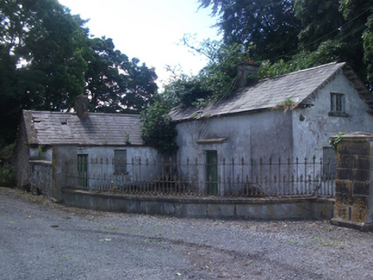 gate lodgegate lodge · 441 yd
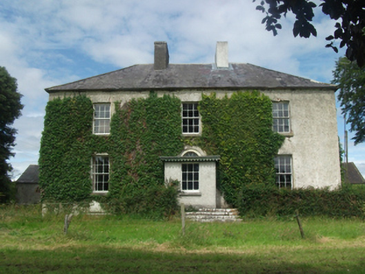 Woodlawnhouse · 1750 yd
 CastleCastle, motte · 1.1 mi
 Dún na SíogaArchaeological place · 1.2 mi
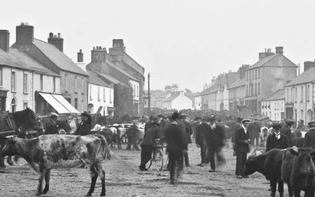 IndicatedFairy fort / earthen ringfort · 1.2 mi
 In Loving Memory of Killian CaseyMemorial · 1.2 mi
 Deer ParkWood · 1.6 mi
 Crover Old Castle (in Ruins)Castle, tower house · 1.6 mi
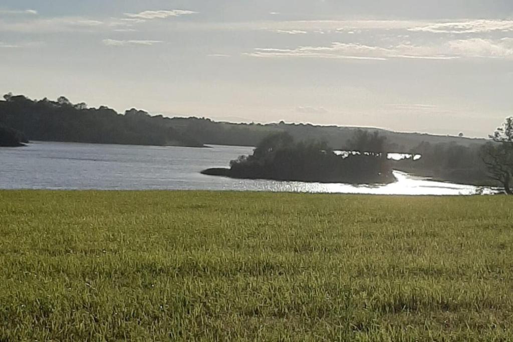 Dinner IslandIslet · 1.7 mi
 Stony IslandIslet · 1.8 mi
 Muldarry PointHeadland · 2.6 mi
 Ross BayBay · 2.6 mi
Other information
Photo: Credit not shown in the picture search · Rights wording not checked; contact us if this picture should be removed