What is recorded here
Marked on all OS eds. Large oval area (int.dims. c. 80m NNW-SSE; c. 50m ENE-WSW)enclosed by a much-denuded low earthen bank. The site is divided into two unequal portions by a field boundary running NNW-SSW. The larger portion,ENE of the boundary, has been levelled. Original entrance not recognisable.
From the National Monuments Service (Archaeological Survey of Ireland) record CV037-013
The monument record does not grant public access. Check the route and ask the landowner before entering private land.
- What survives
- Recorded monument
Places near here
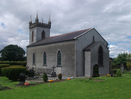 St Paul's Church of Ireland ChurchChurch/chapel · 198 yd
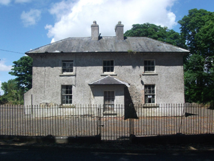 school294 ydCastleCastle, motte · 568 ydCrane IslandIslet · 1.2 miGull IslandIslet · 1.3 mi
 Ross CastleCastle, tower house · 2.8 mi
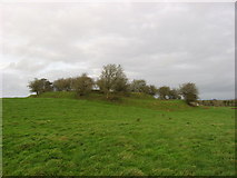 Fairy fort / earthen ringfort in Garrysallagh (o'reilly)Fairy fort / earthen ringfort · 3.3 mi
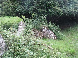 Portal tomb in CarrickacroyPortal tomb · 3.3 mi
 Myles O'Reilly MonumentMemorial · 4.0 mi
 MullaghmeenMountain / peak · 4.9 mi
 Mullaghmeen White WalkWalking route · 5.3 mi
 European Beech6.6 mi
Pictures: National Inventory of Architectural Heritage; Mike Searle, Geograph · CC BY-SA 2.0; Kieran Campbell, Geograph · CC BY-SA 2.0; Wanfried-Dublin, Wikimedia Commons · CC BY-SA 4.0; Cavanphotography, Wikimedia Commons · CC BY-SA 4.0; Gavigan 01 at English Wikipedia, Wikimedia Commons · CC BY 2.5; Colin Park, Geograph · CC BY-SA 2.0; Malene Thyssen, Wikimedia Commons · CC BY-SA 3.0
More archaeology and monuments in County Cavan · All of County Cavan
What do you know about this place?