
What is recorded here
Castle is a flat-topped motte in Ballymacad, County Meath, rising five to six metres above a slight esker ridge. Its grassy summit spans fifteen metres, while the base reaches thirty metres across a WNW-ESE line. A fosse marks the W-N edge, and the ESE ridge where a bailey may have stood is now a quarried hollow. The mound still holds its shape, waiting for someone to remember what it guarded.
Situated on a slight WNW-ESE esker ridge. Flat-topped grass and scrub-covered mound (diam. of top 15m NW-SE; diam. of base 30m NW-SE; H 5m at NW to 6m at SE) defined by a fosse, best preserved (Wth of base 5m; ext. D 1.7m) W-N. The ridge ESE of the motte, where a bailey may have been located, has been quarried and is now a grass-covered hollow.
The aobve description is derived from the published 'Archaeological Inventory of County Meath' (Dublin: Stationery Office, 1987). In certain instances the entries have been revised and updated in the light of recent research.
Date of upload: 10 July 2007
The monument record does not grant public access. Check the route and ask the landowner before entering private land.
- What survives
- Recorded monument
Places near here
 CastleCastle, unclassified · 120 yd
 The MoatCastle, motte and bailey · 436 yd
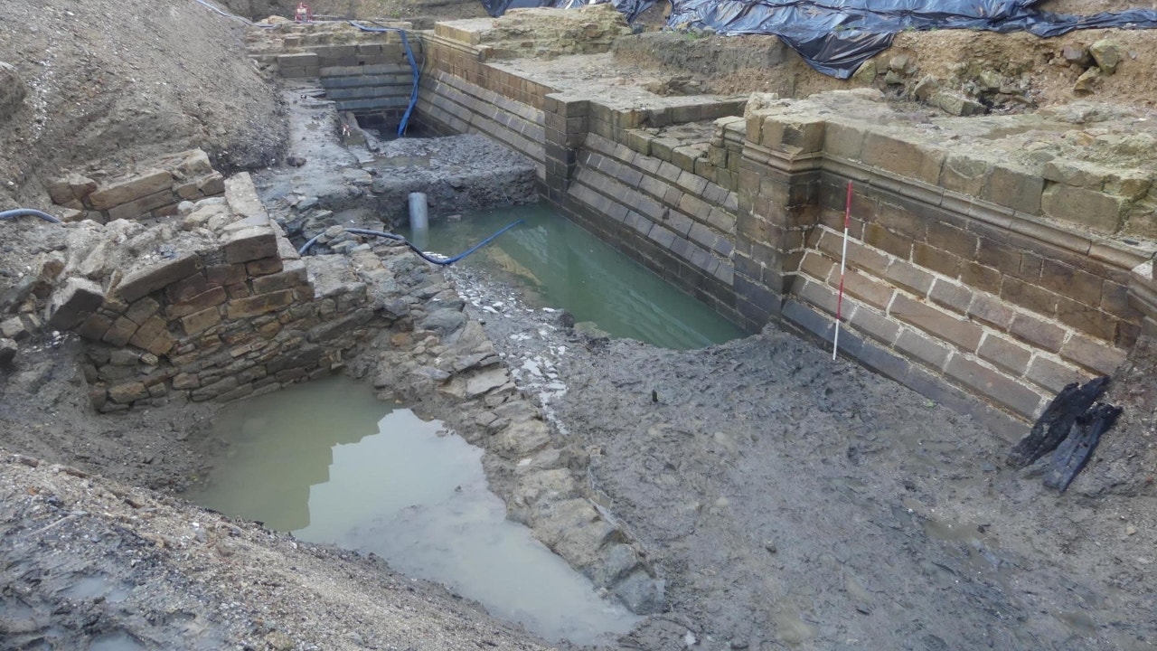 Enclosure in Moat (fore By.)Enclosure · 722 yd
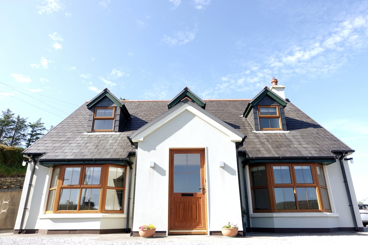 LissardFairy fort / earthen ringfort · 834 yd
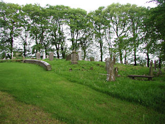 graveyard/cemeterygraveyard/cemetery · 940 yd
 European BeechEuropean Beech · 945 yd
 mill (water)mill (water) · 1005 yd
 Mullaghmeen ForestPicnic place · 1.8 mi
 Mullaghmeen Red WalkWalking route · 2.0 mi
 Mount FortuneMountain / peak · 2.5 mi
 Memorial CrossMemorial · 2.8 mi
 Fennor LowerMountain / peak · 3.4 mi
Other information
Photo: Credit not shown in the picture search · Rights wording not checked; contact us if this picture should be removed