What is recorded here
Located on a slight rise in a low-lying landscape close to the original N shore of Wexford Harbour which is c. 240-360m to the E and S. This is an overgrown and flat-topped earthen mound (diam. of base 27m; diam. of top 13m; H 5m) defined by a flat-bottomed fosse (Wth 3-4m; D c. 0.5m). Around 1220-30 the Roches of Fernegenel sub-infeudated Ardcolm parish to the Sinotts and this motte may have become their caput (Brooks 1950, 147-8; Colfer 2002, 105).
Located on a slight rise in a low-lying landscape close to the original N shore of Wexford Harbour which is c. 240-360m to the E and S. This is an overgrown and flat-topped earthen mound (diam. of base 27m; diam. of top 13m; H 5m) defined by a flat-bottomed fosse (Wth 3-4m; D c. 0.5m). Around 1220-30 the Roches of Fernegenel sub-infeudated Ardcolm parish to the Sinotts and this motte may have become their caput…
From the National Monuments Service (Archaeological Survey of Ireland) record WX038-003
The monument record does not grant public access. Check the route and ask the landowner before entering private land.
- What survives
- Recorded monument
Places near here
Photo credits
- National Inventory of Architectural Heritage
- Sarah777 at English Wikipedia, Wikimedia Commons · Public domain
- Chris, Wikimedia Commons · CC BY-SA 2.0
- Michal Osmenda, Wikimedia Commons · CC BY-SA 2.0
- Thommcg1980, Wikimedia Commons · CC BY-SA 4.0
- AFBorchert, Wikimedia Commons · CC BY-SA 4.0
- Danielclauzier, Wikimedia Commons · CC BY-SA 3.0
- Maker named on the Wikimedia Commons picture page · CC BY-SA 3.0
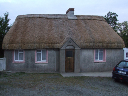 farm house770 yd
 farm house1427 ydFont (present location) in Ballinacoola MoreFont (present location) · 1701 ydEnclosureEnclosure, large enclosure · 1.1 mi
 Curracloe BeachBeach / strand · 1.9 miIndicatedCastle, unclassified · 1.9 mi
 Raven Point Nature ReserveForest · 1.9 mi
 Ballinesker BeachBeach / strand · 2.4 mi
 Commodore John Barry MemorialMemorial · 3.6 mi
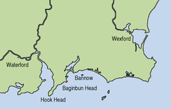 Siege of WexfordSiege · 3.8 mi
 Sack of WexfordSiege · 3.8 mi
 Dawn Redwood5.8 mi
More castles and forts in County Wexford · All of County Wexford
What do you know about this place?