
What is recorded here
Situated on a low rise of ground in grass-land, sloping down to lower poorly drained land at E and SE. Church (WM013-002---) and graveyard (WM013-002001-) 180m to SE. In 1632 an inquiry into the estate of the deceased Walter Browne who died on the 25th of March 1611 recorded that he possessed 2 castles 20 messuages,…
Read the whole record
From the National Monuments Service (Archaeological Survey of Ireland) record WM013-001
Places near here
Photo credits
- Maker not stated on source page, bialczynski.pl
- Maker not stated on source page, en.wikipedia.org
- Maker not stated on source page, irisharchaeology.org
- National Inventory of Architectural Heritage
- Maker not stated on source page, www.dreamstime.com
- Maker not stated on source page, commons.wikimedia.org
- Maker not stated on source page, www.irishcentral.com
- Photographer not named; article written by Joe Potter, www.collinstown.ie
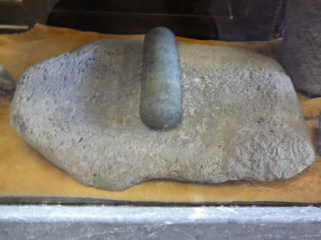 Bullaun stone in Kilpatrick (fore By.)Bullaun stone · 246 yd
Explorer Tom Bullaun stone in Kilpatrick has vanished so completely that even the surveyors gave up and went home for tea. It gave…
 Earthwork in Kilpatrick (fore By.)Earthwork · 346 yd
Explorer Tom Earthwork in Kilpatrick is currently stuck in a fairy dispute over parking rights, which explains why there’s nothing…
 Fairy fort / earthen ringfort in Clondalever (fore By.)Fairy fort / earthen ringfort · 1311 yd
Explorer Tom Clondalever's second fort is hiding in a conifer plantation because it's terrified of being seen without its makeup…
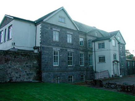 Barbavilla HouseCountry house · 1645 yd
Explorer Tom Barbavilla House is stuck in a feud with its neighbour over who owns the view from the top of the hill, and neither…
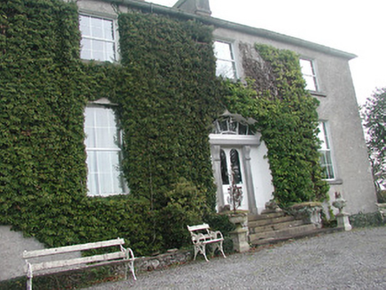 Glebe HouseRectory/glebe/vicarage/curate's house · 1.1 mi
Explorer Tom Glebe House would tell you in a job interview that it has strong references from the Board of First Fruits. It was…
Fairy fort / earthen ringfort in Clondalever (moyashel & Magheradernon By.)Fairy fort / earthen ringfort · 1.2 miExplorer Tom The sheep on this Clondalever ridge have strong opinions about the fort's interior layout, mostly because they keep…
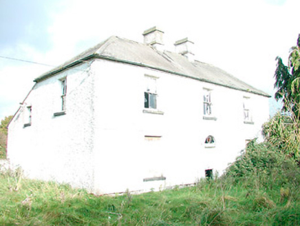 The OrchardHouse · 1.2 mi
Explorer Tom The Orchard in Ballybeg is tired of the wind picking on its derelict state, especially those fancy teardrop windows.…
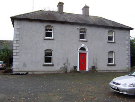 Rickardstown HouseHouse · 1.3 mi
Explorer Tom Rickardstown House in Rickardstown is doing its best to look dignified despite that weird doorframe it stole from a…
 Fairy fort / earthen ringfort in DerrynagarraghFairy fort / earthen ringfort · 1.3 mi
Explorer Tom Fairy fort / earthen ringfort in Derrynagarragh: This place would review its visitors as 'tolerable' if they didn’t…
 Kilcumny GraveyardGraveyard · 1.5 mi
Explorer Tom Kilcumny Graveyard would survive a zombie attack because they’re already used to being ignored by everyone else. It’s…
 CastleCastle, unclassified · 2.0 mi
Explorer Tom Derrynagarragh Castle would file a noise complaint with the council if it could, mostly because the wind whistles…
 Lough Lene Gaels GAA pitchGAA ground · 2.0 mi
More castles and forts in County Westmeath · All of County Westmeath

What do you know about this place?Tap to add a comment or ask a question