Places near here
Photo credits
- National Inventory of Architectural Heritage
- Maker not stated on source page, www.rte.ie
- liam murphy, Geograph · CC BY-SA 2.0
- Golfing in Ireland; photographer not stated, Source publisher
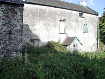 Ballygunner CastleHouse · 1 yd
Explorer Tom Ballygunner Castle isn’t really a castle, it’s just a house with an identity crisis and a medieval backstory. It claims…
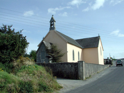 Saint Mary's Catholic ChurchChurch/chapel · 551 yd
Explorer Tom Saint Mary's Catholic Church (Knockboy) has an escape plan involving its spire, which is currently pretending to point…
 James McGinn Park, BallygunnerGAA ground · 694 yd
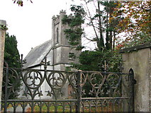 Saint Thomas's Church (Ballynakill)Church/chapel · 1608 yd
Explorer Tom Saint Thomas's Church (Ballynakill) says it would use its lotto win to buy a bigger spire because it thinks the current…
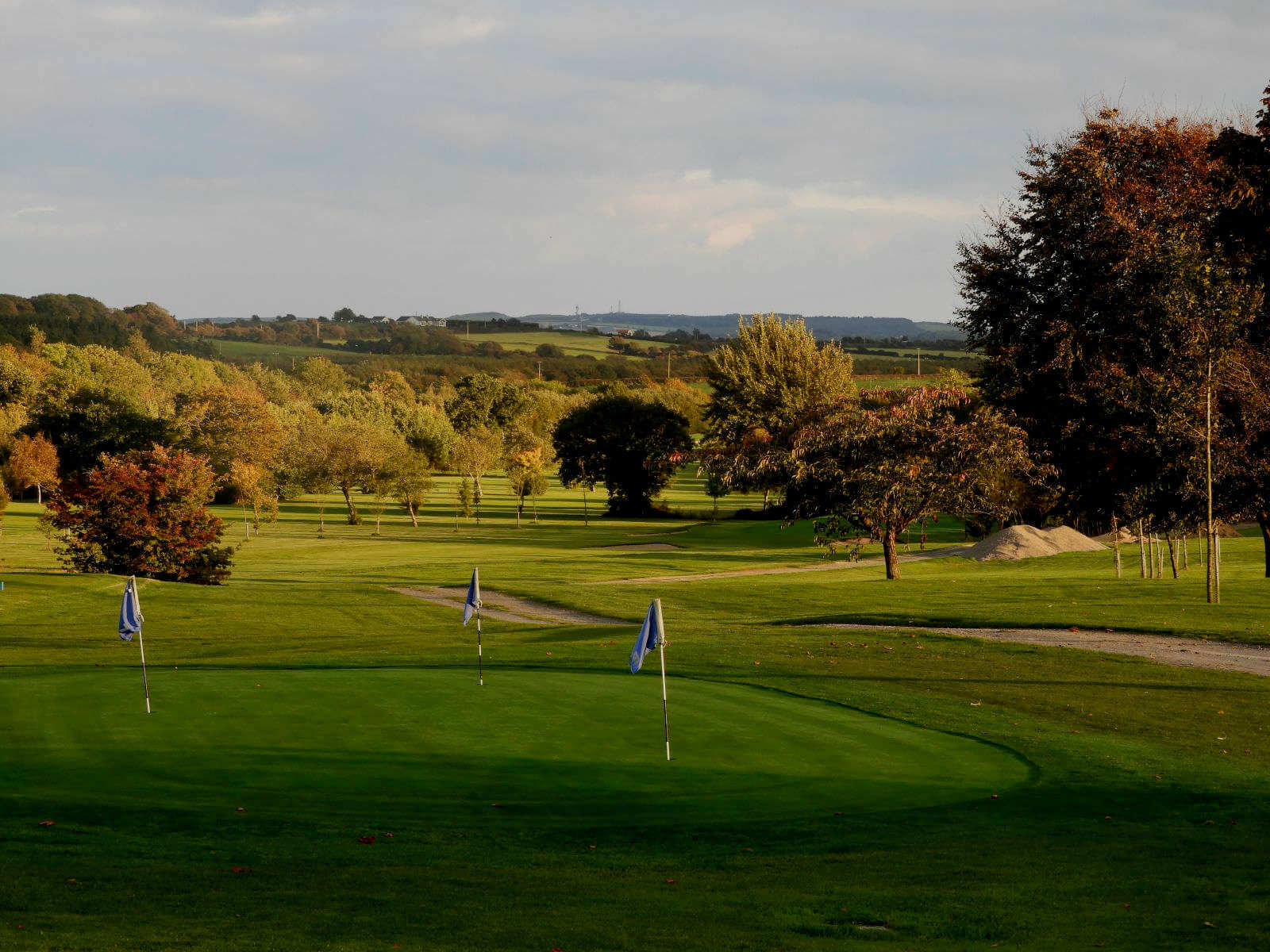 Williamstown Golf ClubGolf course · 1663 yd
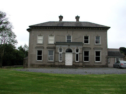 Brook LodgeHouse · 1755 yd
Explorer Tom Brook Lodge in Cross Kilmacomb Par. is dressed to the nines with an ornate porch and those fancy canted bay windows. It…
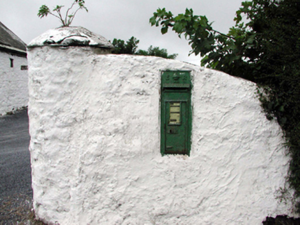 Historic buildingOfficially recorded historic building · 1.0 mi
Explorer Tom This historic building in Callaghane hates visitors who touch the royal cipher, claiming they leave fingerprints on the…
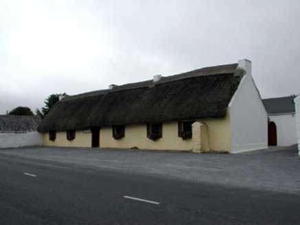 M. KennedyHouse · 1.0 mi
Explorer Tom M. Kennedy in Callaghane is a vernacular gem with outbuildings on either side, looking like a sandwich where the bread…
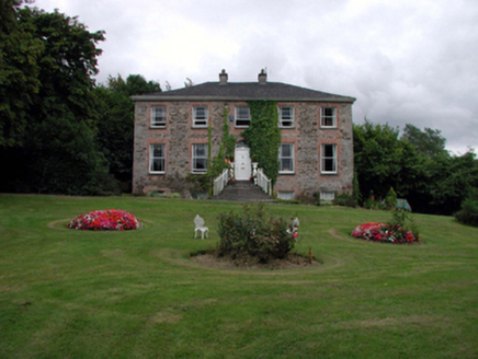 Blenheim HouseHouse · 1.1 mi
Explorer Tom Blenheim House in Ballymaclode has had its render stripped off, revealing the unrefined rubble stone underneath like it…
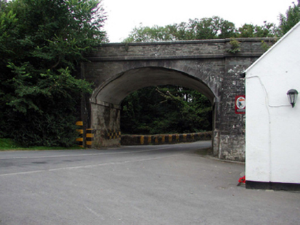 bridge1.1 mi
Explorer Tom Bridge in Ballycanvan Little was allegedly designed by a mother-in-law who wanted to slow traffic down forever. It was…
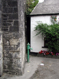 water pump1.1 mi
Explorer Tom Water pump in Ballycanvan Little would win a county fair for best dressed cow tail, hands down without even trying…
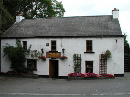 John MeadeHouse · 1.1 mi
Explorer Tom John Meade house in Ballycanvan Little has a silhouette that’s slightly battered, giving it character. It’s got those…
More historic places in County Waterford · All of County Waterford

What do you know about this place?Tap to add a comment or ask a question