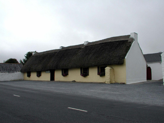
What is recorded here
Detached six-bay single-storey thatched cottage with dormer attic, c.1840, retaining early fenestration. Now in part commercial use. Pitched roof with reed thatch in English style having rope work to ridge, and rendered squat chimney stacks. Painted rendered walls with slight batter. Square-headed window openings with stone sills, 2/2 timber sash windows (some having wrought iron bars), and louvered timber false external shutters, c.1990. Square-headed door opening with replacement glazed timber panelled door, c.1990. Interior with timber panelled wainscoting, tongue-and-groove timber panelled counter, and tongue-and-groove panelling extending into ceiling. Set back from line of road with tarmacadam verge to front.(ii) Pair of detached three-bay single-storey rubble stone outbuildings, c.1840, at right angles flanking cottage. Pitched slate roofs with red clay ridge tiles, and no rainwater goods on squared rubble stone eaves. Limewashed random rubble stone walls. Square-headed window openings with no sills, lintels, and timber fittings. Square-headed door openings with timber lintels, and timber boarded doors.
An important element of the vernacular heritage of County Waterford, as identified by the long, low massing to each range, the informal arrangement of openings, and the construction almost-entirely in unrefined, locally-sourced materials. Well maintained, each unit retains most of its original form and fabric, while the cottage retains an important early-surviving commercial interior. Arranged in a traditional manner with the cottage flanked by an outbuilding range to either side, the group forms an attractive feature in the locality.
From the Buildings of Ireland (National Inventory of Architectural Heritage) record 22901808
This does not grant access. Most recorded buildings are privately owned; view them only from public ground unless the owner allows entry.
Places near here
Photo credits
- National Inventory of Architectural Heritage
- Paul O'Farrell, Geograph · CC BY-SA 2.0
- RTG, Wikimedia Commons · CC BY-SA 4.0
- Blimey74, Wikimedia Commons · CC0
- Vadim Manuylov, Wikimedia Commons · CC BY-SA 3.0
- Tmimagery, Wikimedia Commons · CC BY-SA 4.0
- Eric Hunt, Wikimedia Commons · CC BY 2.5
- David Dixon, Geograph · CC BY-SA 2.0
- Oliver Dixon, Geograph · CC BY-SA 2.0
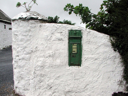 Historic buildingOfficially recorded historic building · 35 yd
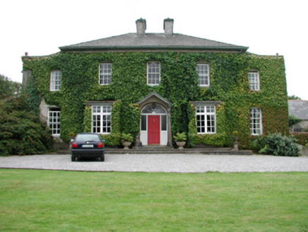 FoxmountHouse · 1571 yd
 Tramore StrandBeach / strand · 5.8 mi
 Gaulstown Portal TombArchaeological place · 7.4 mi
 DolmenPortal tomb · 7.4 mi
 Corluddy Castle (in Ruins)Castle, tower house · 7.8 mi
 Monterey Cypress7.9 mi
 The Metal ManHeritage attraction · 7.9 mi
 Sweet michelia8.0 mi
 CastleCastle, unclassified · 8.5 mi
 Grange BeachBeach / strand · 9.0 mi
 Baginbun BeachBeach / strand · 9.2 mi
More historic places in County Waterford · All of County Waterford
What do you know about this place?