What is recorded here
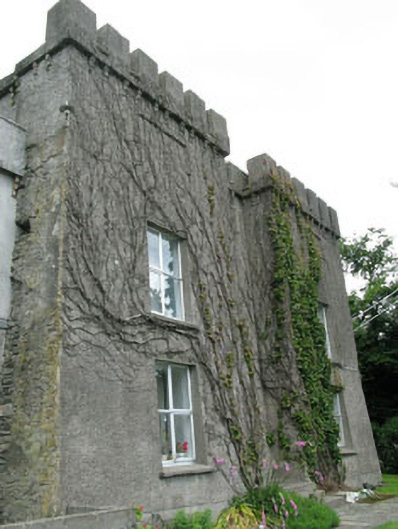
Castle Aghatubrid More stands on high ground above Glandore Harbour, its thick stone walls still carrying the weight of O'Donovan and Clann Lochlainn history. The tower house has been changed repeatedly, yet its pointed door, gun loops and corner turret preserve the shape of a defensive home rather than a forgotten ruin. It is easy to imagine people moving through that narrow space, watching the water below and trusting the stone to hold them steady when the region grew dangerous.
On high ground overlooking Glandore Harbour to S, remains of tower house (9.8m N-S; 12.93m E-W) now incorporated into S portion residential house; heavily modified at various times. Two storey block with late 19th century embattled parapet built around core of earlier tower. Original features include wall base batter, central pointed ground floor door in E wall, yett hole in apex of arch; at first floor level to E of door is blocked ogee-head light with recessed spandrels; remains of gable-shaped gun loops on E and W elevs; similar features at nearby Raheen castle (CO142-082---). Tall tapering tower (3m E-W) on NW corner, with gable-shaped gun glops, placed on corners. Base N wall 2m thick; E, W and S walls c. 0.9m thick. Castle of O'Donovan clan (Coleman 1924, 45-6); chief seat of Clann Lochlainn (O Murchadha 1985, 126).
The above description is derived from the published 'Archaeological Inventory of County Cork. Volume 1: West Cork' (Dublin: Stationery Office, 1992). In certain instances the entries have been revised and updated in the light of recent research.
Date of upload/revision: 14 January 2009
Built as a tower house in the late medieval period, likely by a local Gaelic or Anglo-Irish family in the 15th or 16th century, Castle Aghatubrid More is important as a surviving example of defensive domestic architecture in the region, now incorporated into a later residential structure.
The monument record does not grant public access. Check the route and ask the landowner before entering private land.
- What survives
- Recorded monument
Places near here
 Glandore Castlecastle/fortified house · 5 yd
 Glandore Pierpier/jetty · 125 yd
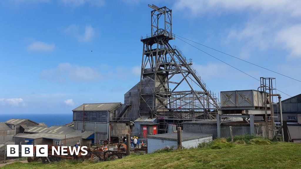 Manganese Mines (Disused)Mining complex · 849 yd
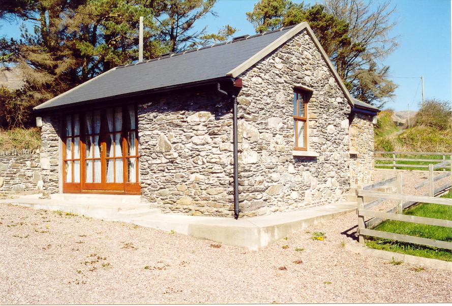 Enclosure in Aghatubrid MoreEnclosure · 987 yd
 Wild Atlantic WayVisitor information · 1016 yd
 Cooks WoodWood · 1153 yd
 Coastguard StationRuins · 1267 yd
 Myross PointHeadland · 1382 yd
 Big HeightMountain / peak · 1449 yd
 Big BankMountain / peak · 1679 yd
 Walk 1 - Drombeg Standing Stone Circle (7 - 9 km)Walking route · 1744 yd
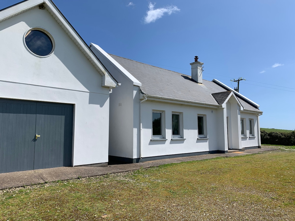 Tobar na gCapallSpring · 1.0 mi