
What is recorded here
'Castle' indicated on the First ed. OS 6-inch map. No visible trace survives and the site now forms part of the road. (Scott 1913, 162-4)
Compiled by: Claire Breen
Date of upload: 29 January 2013
A local castle; wider significance not recorded.
This remains an important historical record, but the official description says the monument is no longer visible or has been destroyed. The monument record does not grant public access. Check the route and ask the landowner before entering private land.
- What survives
- No visible remains or recorded as destroyed
Places near here
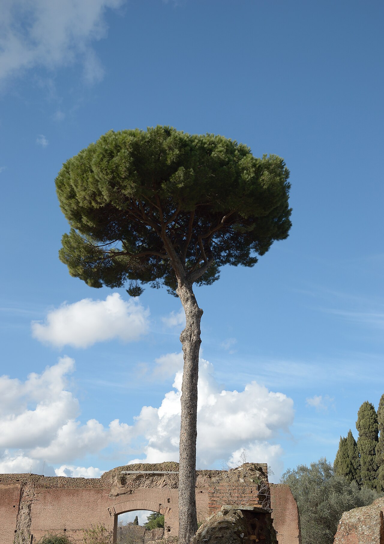 Stone PineStone Pine · 191 yd
 Bray Bridgebridge · 222 yd
 Saint Paul's Church (Bray)church/chapel · 252 yd
 European YewEuropean Yew · 262 yd
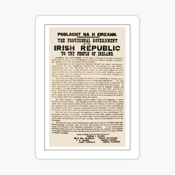 Proclamation of the Irish RepublicMonument · 269 yd
 Christopher ThompsonMemorial · 282 yd
 Abbey WellHoly well · 549 yd
 Naylor's CoveBeach / strand · 1.2 mi
 IndicatedCastle, tower house · 1.5 mi
 Graveyard in BallymanGraveyard · 1.6 mi
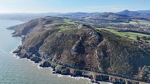 Bray HeadMountain / peak · 1.6 mi
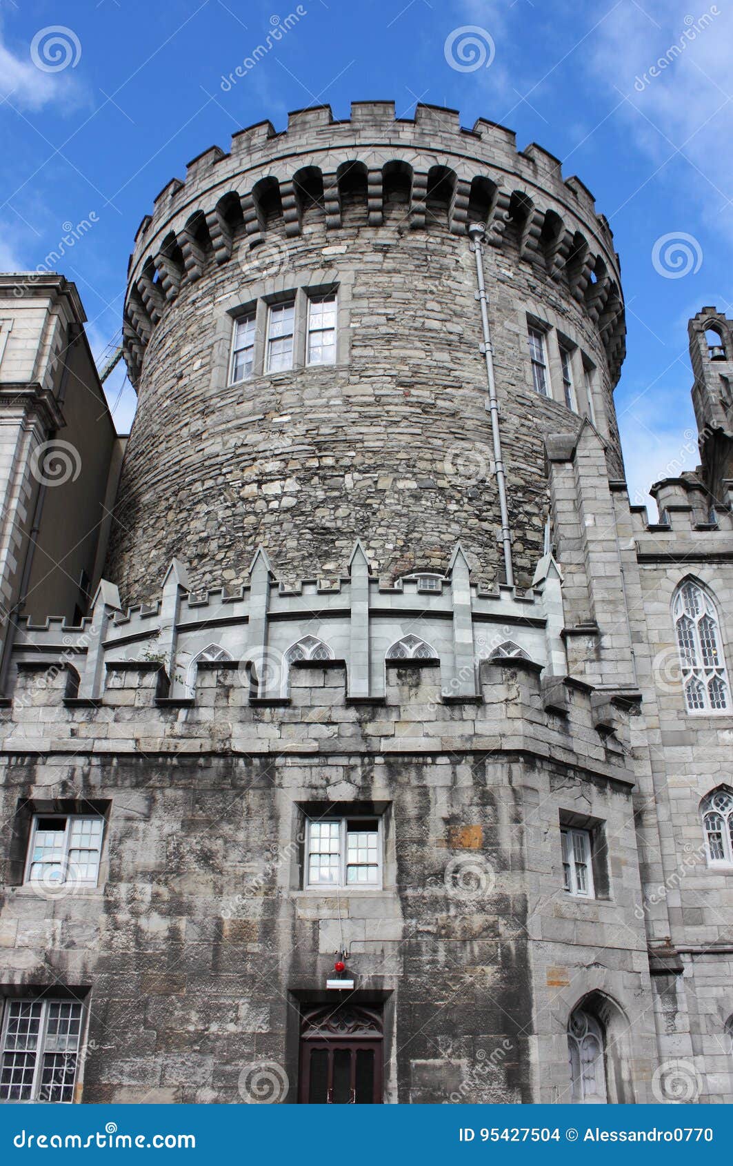 CastleCastle, tower house · 1.6 mi
Other information
Photo: Credit not shown in the picture search · Rights wording not checked; contact us if this picture should be removed