What is recorded here
Rectangular area, on W side of Sherkin Island, partially projecting into sea to W, defined by tumble of large rocks (many up to 2 metres in length) to S and E and by shore to N and W. Stones to S follow line of shallow creek, Westropp (1914, 95) saw stones as remains of 'overthrown wall about 8ft to 10ft thick'. Interior area flat and rocky; overlooked by ridge immediately to S. Wedge tomb (CO153-001003-) immediately outside tumble of stones to E.
Rectangular area, on W side of Sherkin Island, partially projecting into sea to W, defined by tumble of large rocks (many up to 2 metres in length) to S and E and by shore to N and W. Stones to S follow line of shallow creek, Westropp (1914, 95) saw stones as remains of 'overthrown wall about 8ft to 10ft thick'. Interior area flat and rocky; overlooked by ridge immediately to S. Wedge tomb (CO153-001003-)…
From the National Monuments Service (Archaeological Survey of Ireland) record CO153-001001
The monument record does not grant public access. Check the route and ask the landowner before entering private land.
- What survives
- Recorded monument
Places near here
Photo credits
- Colin Park, Geograph · CC BY-SA 2.0
- National Inventory of Architectural Heritage
- Jbuck78, Wikimedia Commons · CC BY-SA 4.0
Hut site in Slievemore (sherkin Island)Hut site · 76 ydSherkin PointHeadland · 126 ydEnclosure in Slievemore (sherkin Island)Enclosure · 194 ydHard StrandBeach / strand · 305 yd White StrandBeach / strand · 979 ydDrowlaun PointHeadland · 1654 ydSilver StrandBeach / strand · 1698 ydSt. Mona's Roman Catholic ChurchChurch/chapel · 1.1 miSherkin IslandIsland · 1.1 mifarm house1.3 miDún na Long CastleRuins · 1.9 miBawn in Farranacoush (sherkin Island)Bawn · 1.9 mi
 White StrandBeach / strand · 979 ydDrowlaun PointHeadland · 1654 yd
 Silver StrandBeach / strand · 1698 yd
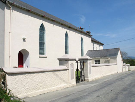 St. Mona's Roman Catholic ChurchChurch/chapel · 1.1 mi
 Sherkin IslandIsland · 1.1 mi
 farm house1.3 miDún na Long CastleRuins · 1.9 miBawn in Farranacoush (sherkin Island)Bawn · 1.9 mi
More archaeology and monuments in County Cork · All of County Cork
What do you know about this place?