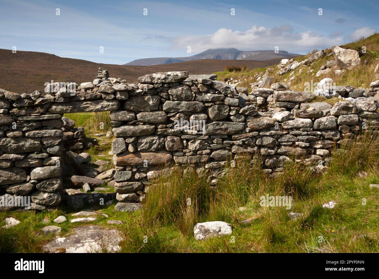
What is recorded here
Four centuries of Atlantic wind have collapsed the stone bank into the hollow, leaving a jumbled oval pit where a human being once sheltered from the rain. The standing stone waits forty metres away like a forgotten marker, preserving the shape of a life so small it vanished without a name.
In rough pasture, in a NE-SW hollow between rocky heather and gorse-covered ridges to the NW and the SE, on the SW side of Sherkin Island. The jumbled remains of an oval hut site (3.6m NE-SW; 1.5m NW-SE) defined by a damaged bank (Wth 0.5m; H 0.4m) of earth and stone. The enclosing element has largely collapsed into the interior. There is a standing stone (CO153-001002-) c. 40m to the SW.
The above description is derived from 'The Archaeological Inventory of County Cork. Volume 5' (Dublin: Stationery Office, 2009).
Date of upload: 22 December 2009
The monument record does not grant public access. Check the route and ask the landowner before entering private land.
- What survives
- Recorded monument
Places near here
 CarrigadoonaPromontory fort, coastal · 76 yd
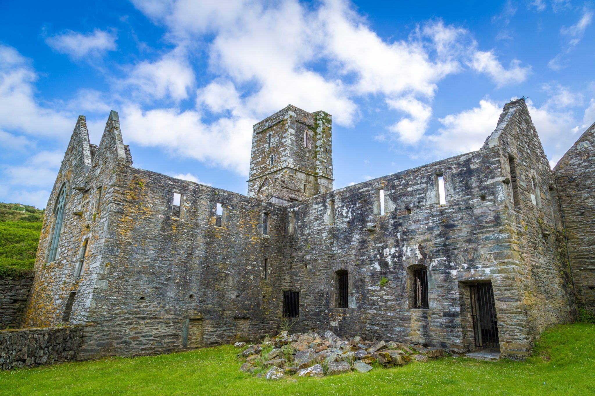 Sherkin PointHeadland · 95 yd
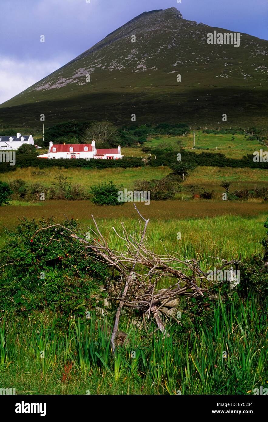 Enclosure in Slievemore (sherkin Island)Enclosure · 143 yd
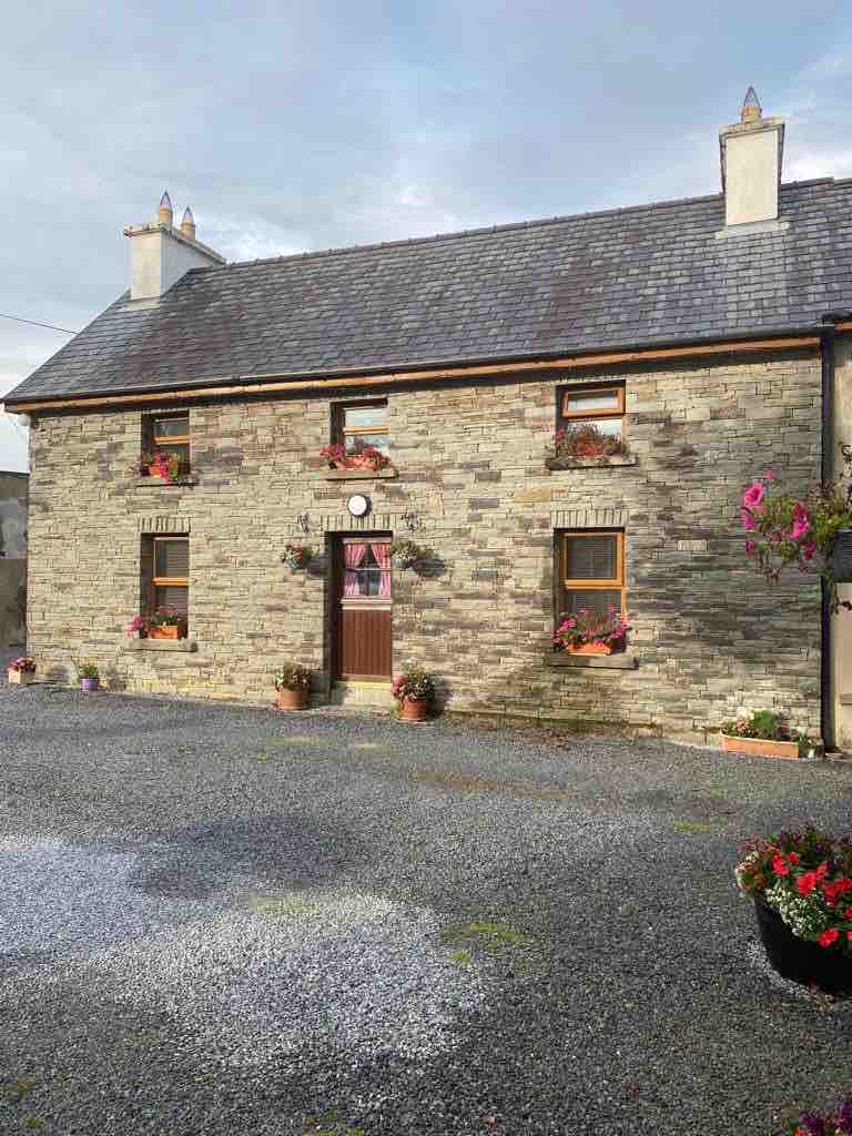 Hard StrandBeach / strand · 243 yd
 White StrandBeach / strand · 988 yd
 Chapel in Cloddagh (sherkin Island)Chapel · 1568 yd
 Cow StrandBeach / strand · 1696 yd
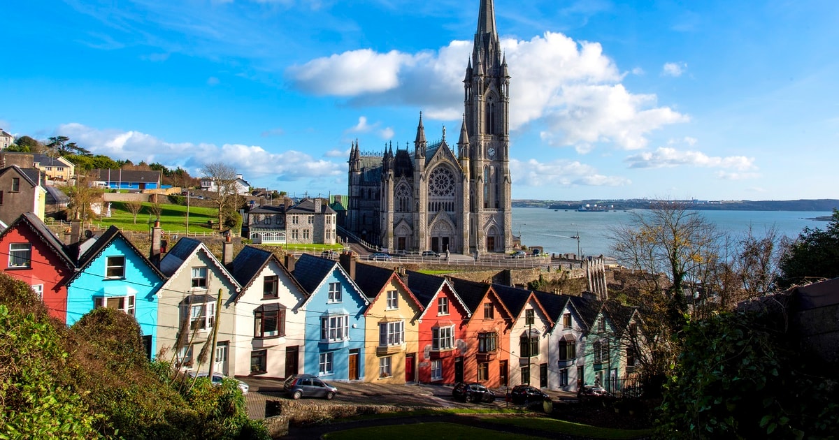 Drowlaun PointHeadland · 1722 yd
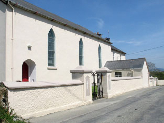 St. Mona's Roman Catholic Churchchurch/chapel · 1.1 mi
 Sherkin IslandIsland · 1.1 mi
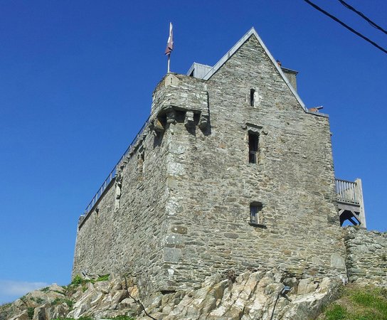 Dún na Long CastleRuins · 1.9 mi
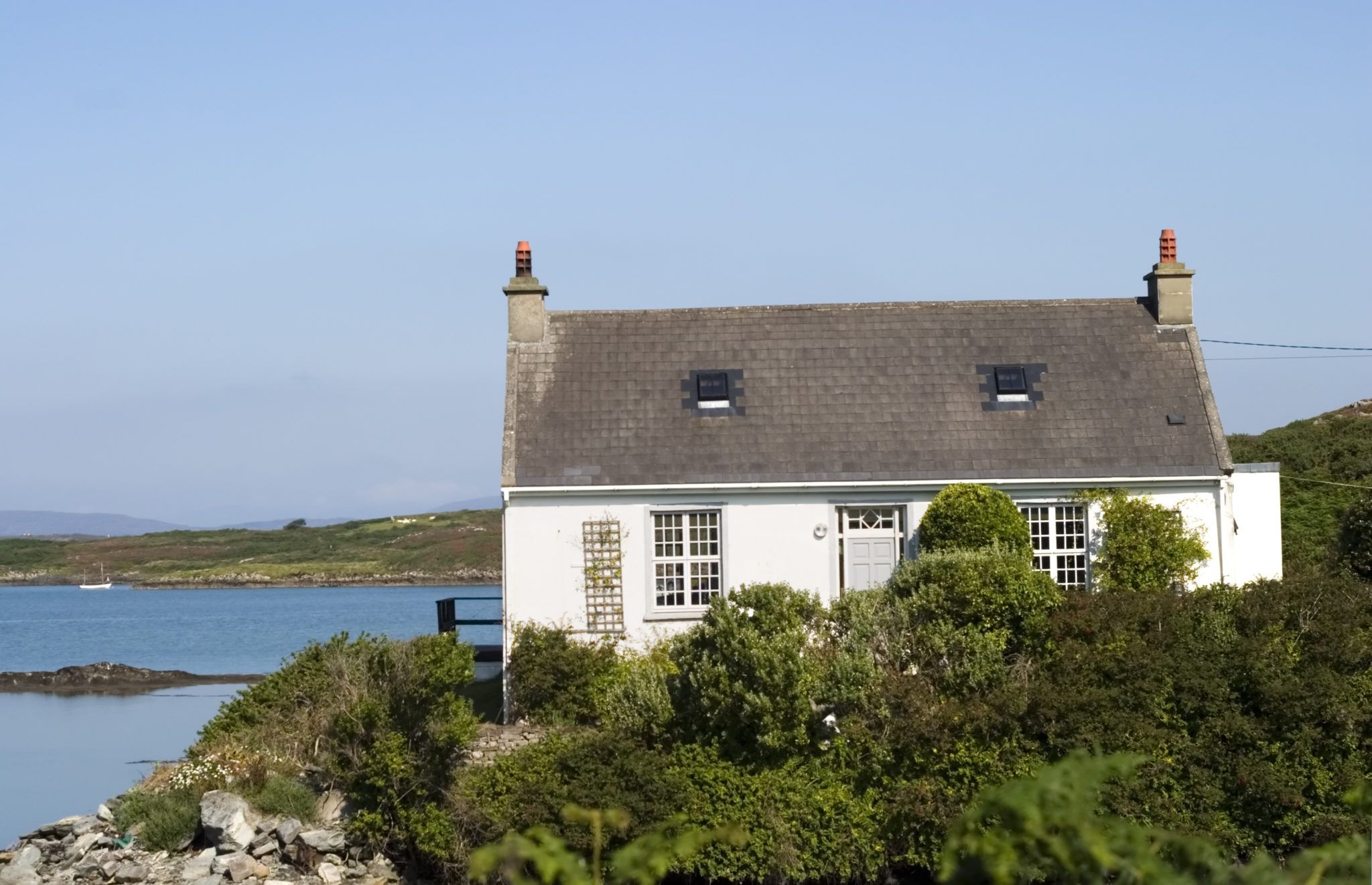 Bawn in Farranacoush (sherkin Island)Bawn · 2.0 mi
Other information
Photo: Credit not shown in the picture search · Rights wording not checked; contact us if this picture should be removed