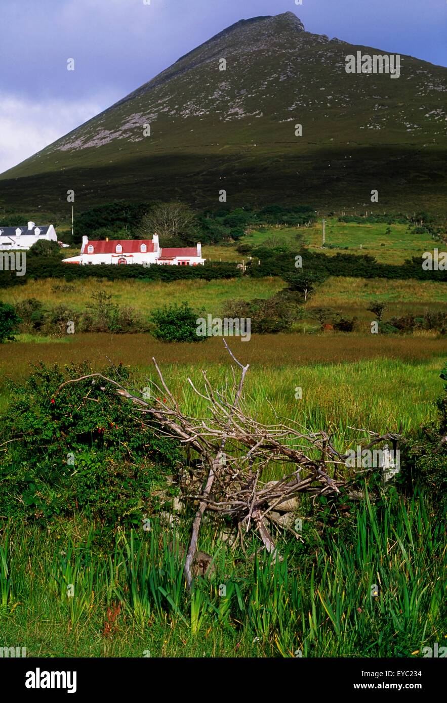
What is recorded here
In rough pasture, covered with a scatter of water-rolled stones, at the head of a NE-SW inlet on the SW side of Sherkin Island. There is a reed-covered marshy area to the NW. A circular slightly raised area (diam. 7.5m) defined by an enclosing element (T 0.5m; H 0.15m) formed by intermittently placed large stones, which protrude from the ground. Loose stones from the seashore are scattered within and around the possible enclosure.
The above description is derived from 'The Archaeological Inventory of County Cork. Volume 5' (Dublin: Stationery Office, 2009).
Date of upload: 22 December 2009
The monument record does not grant public access. Check the route and ask the landowner before entering private land.
- What survives
- Recorded monument
Places near here
 Hard StrandBeach / strand · 116 yd
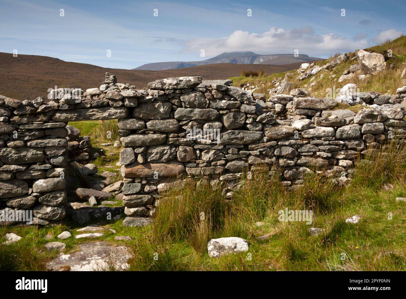 Hut site in Slievemore (sherkin Island)Hut site · 143 yd
 CarrigadoonaPromontory fort, coastal · 194 yd
 Sherkin PointHeadland · 228 yd
 White StrandBeach / strand · 882 yd
 Chapel in Cloddagh (sherkin Island)Chapel · 1479 yd
 Cow StrandBeach / strand · 1624 yd
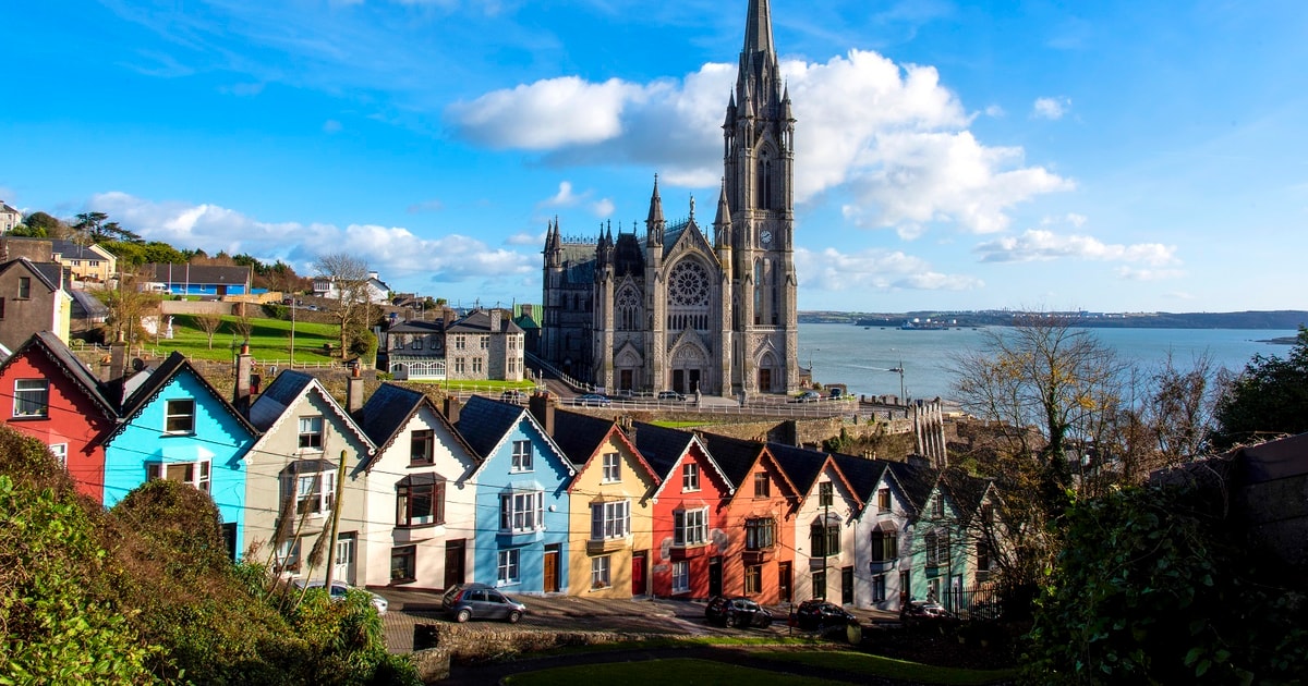 Drowlaun PointHeadland · 1745 yd
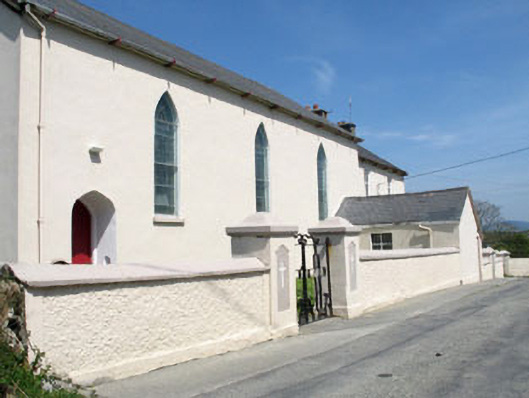 St. Mona's Roman Catholic Churchchurch/chapel · 1.0 mi
 Sherkin IslandIsland · 1.1 mi
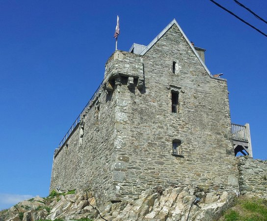 Dún na Long CastleRuins · 1.9 mi
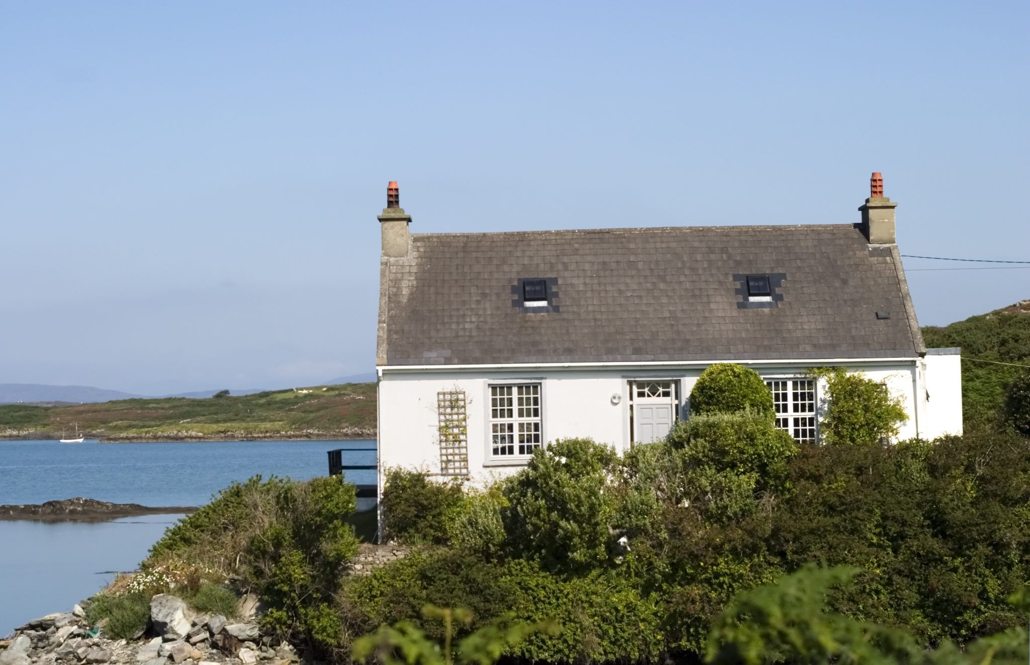 Bawn in Farranacoush (sherkin Island)Bawn · 1.9 mi
Other information
Photo: Credit not shown in the picture search · Rights wording not checked; contact us if this picture should be removed