
What is recorded here
A subrectangular raised area apparently formerly enclosed by a much worn earthen bank, which survives only on the E side. The W side has been converted into a field boundary and a small rectangular earthen feature abuts onto this, but is probably modern. For the most part, the monument survives as an enscarpment of the hill on which it is sited. It is much overgrown and located in good land close to the coast.
The above description was derived from the 'Archaeological Survey of County Donegal. A description of the field antiquities of the County from the Mesolithic Period to the 17th century.' Compiled by: Brian Lacey with Eamon Cody, Claire Cotter, Judy Cuppage, Noel Dunne, Vincent Hurley, Celie O'Rahilly, Paul Walsh and Seán Ó Nualláin (Lifford: Donegal County Council, 1983). In certain instances the entries have been revised and updated.
Date of upload: 22 September 2008
A local fairy fort (ringfort/rath); wider significance not recorded.
The monument record does not grant public access. Check the route and ask the landowner before entering private land.
- What survives
- Recorded monument
Places near here
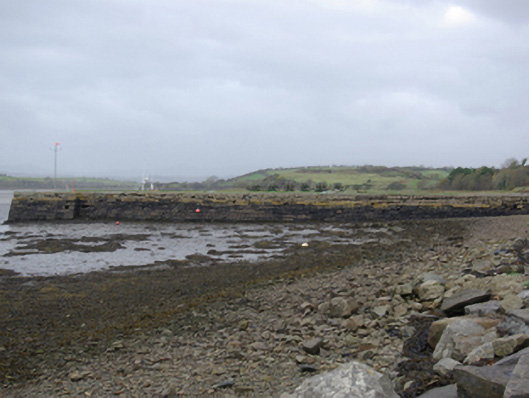 Mullansole Pierpier/jetty · 626 yd
 Rossilly Fairy Fort near the Old WellFairy fort / earthen ringfort · 897 yd
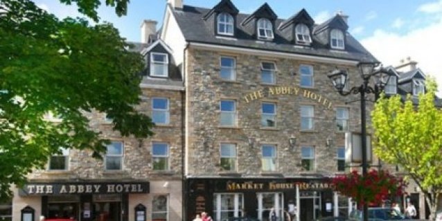 Abbey in RuinsChurch · 1359 yd
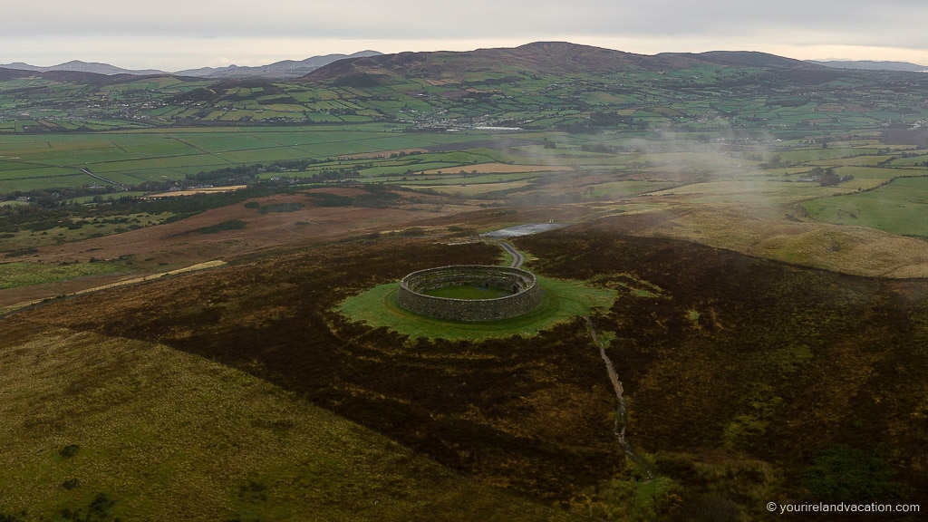 Ballybulgan Raised Fairy FortFairy fort / earthen ringfort · 1.0 mi
 Rooney's IslandIslet · 1.3 mi
 MurvaghOfficial bathing water · 1.6 mi
 Ballyboyle IslandIslet · 2.2 mi
 Ballyboyle Castle (Site of)Castle, tower house · 2.3 mi
 Wych ElmWych Elm · 2.7 mi
 Mac Manus Estate, RossylonganForest recreation place · 2.8 mi
 Castle (Site of)Castle, unclassified · 2.8 mi
 Siege of Donegalsiege · 2.9 mi
Other information
Photo: Credit not shown in the picture search · Rights wording not checked; contact us if this picture should be removed