
What is recorded here
It is situated in a valley at the bottom of a N and NW-facing slope and on the E side of an area of grass and scrub-covered rock outcrop (max. H 2.5-3m). There is a SE-NW section of a stream c. 5m to the NE, and it is known as Carraig an Aifrinn – the rock of the Mass. A shelf of rock outcrop (dims 1.4m NW-SE; 1.5m NE-SW; max. H 0.9-1m) faces NE with a rough ledge (dims c. 4m NW-SE; c. 3m NE-SW) in front of it that is c. 1m higher than the banks of the stream. It is marked on the 1907 edition of the OS 6-inch map, and the megalithic tomb (MO018-012----) is c. 15m to the N, across the stream in Rakean townland. (Ó Gallachair 1957, 118)
Compiled by: Michael Moore
Date of upload: 25 October, 2016
The monument record does not grant public access. Check the route and ask the landowner before entering private land.
- What survives
- Recorded monument
Places near here
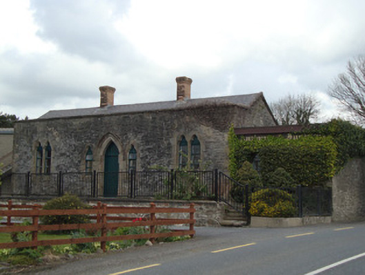 Monaghan Road Railway Stationrailway station · 831 yd
 IndicatedFairy fort / earthen ringfort · 1439 yd
 W. Sloanhouse · 1713 yd
 Grave YardBurial ground · 1.3 mi
 Ballybay Wetland CentreNature reserve · 3.8 mi
 LisnaspeenanMountain / peak · 3.9 mi
 The Rabbit BurrowWood · 4.1 mi
 Rossmore MausoleumHeritage attraction · 4.1 mi
 Giant Redwood (1862)Heritage attraction · 4.3 mi
 Fedd HillMountain / peak · 4.3 mi
 Senator Billy Fox 1939 - 1974Memorial · 8.7 mi
 Gull IslandIslet · 11 mi
Other information
Photo: Credit not shown in the picture search · Rights wording not checked; contact us if this picture should be removed