What is recorded here
Carn Castle is a ruined bawn built by the Magawley family, its southwest wall still standing 2.5 metres high with gunloops and circular flankers at each end. The enclosure sits on a rise above pasture, near the holy well Tobernakill and a cluster of old settlements, suggesting a household that watched the land rather than hid from it. Cattle now walk the uneven interior where a square castle once stood, turning a defensive home into a quiet field of memory.
Carn castle (WM030-030----) and bawn stands on a rise, in gently undulating pasture. Holy well (WM030-029----) named ‘Tobernakill’ lies c. 90m to NW, a settlement cluster (WM030-123---) lies c. 125m to S. Depicted on the 1837 ed. OS 6-inch map as a rectangular-shaped enclosure containing several buildings including ‘Carn Castle’ (WM030-030----) which is shown as a square shaped building in the centre of the bawn. Depicted on the revised 1910 ed. OS 25-inch map as a subrectangular-shaped enclosure (approx. dims. 52m NE-SW; 45m NW-SE) with a circular-shaped flanking tower at the S, SW and N corners and containing several buildings including ‘Carn Castle (in Ruins)’. On this map the NE wall of the bawn no longer remains upstanding. Monument described in 1973 as the remains of a roughly rectangular-shaped enclosure. The southern wall has circular corner towers at the ends. The northern wall appears to be relatively modern. The interior is uneven and now houses cattle. There is a hay barn built against the east wall. Some old field banks are visible to S and W. A deep stone lined well or pump hole lies c. 50m to SW. Monument is visible today as a subrectangular-shaped bawn on Digital Globe aerial photography.
Bawn described by Salter (2004, 147) as following; 'The 38m long SW side of a bawn built by the Magawley family has a loopholed wall 2.5m high with a circular flanker 4.2m in diameter at each end also with gunloops. Also surviving are the featureless 50m long SE wall, and a retaining wall on the NW side which faced a slope and had a slight angle near the middle of its length'.
Compiled by Alison McQueen, Vera Rahilly and Caimin O’Brien.
Date of upload: 08 November 2019
The monument record does not grant public access. Check the route and ask the landowner before entering private land.
- What survives
- Recorded monument
Places near here
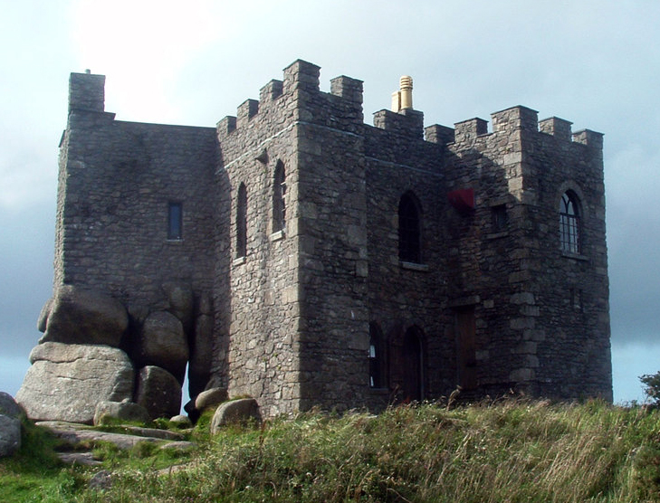 Carn CastleCastle, tower house · 9 yd
 TobernakillHoly well · 132 yd
 Settlement cluster in CarnparkSettlement cluster · 186 yd
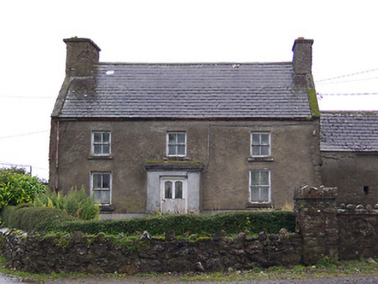 Nahod Beag Househouse · 967 yd
 farm housefarm house · 1429 yd
 CastleCastle, unclassified · 1.0 mi
 Dún na Sí Heritage CentreMuseum · 2.9 mi
 Dún na SíMuseum · 2.9 mi
 Charles BianconiMemorial · 3.7 mi
 Moate HillMountain / peak · 3.9 mi
 Temple's IslandIslet · 4.7 mi