What is recorded here
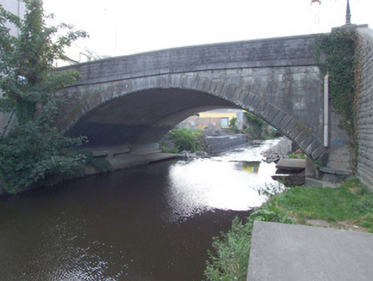
Camlin Bridge dates itself to 1819, though its western side was widened in 1993. Ask its age from the east and you get a straight answer; ask from the west and it wants to know who sent you.
Single-arched road bridge carrying road over the Camlin River, built c. 1819. Widened to the west side, dated 1993. Segmental arch having tooled ashlar limestone V-jointed voussoirs. Squared dressed limestone abutments and spandrel walls to east side. Barrel lined with concrete layer, added 1993. Projecting dressed limestone piers (on square-plan) to either side of arch (east side) having circular dressed limestone cutwaters to base with dressed limestone coping and projecting dressed limestone string course. Parapets rebuilt c. 1993. Projecting ashlar limestone string course at road deck level. Located to the north end of Longford Town.
Although altered and widened to the west side, this fine bridge retains much of its early character and form to the east elevation. It represents a significant nineteenth century engineering achievement and is an important element of the built heritage of Longford Town. It is well built using high quality ashlar and dressed limestone masonry, while the graceful profile of the arch identifies the civil engineering heritage significance of the site. Although dated 1819 (modern plaque), the form of the stonework is reminiscent of the work found on a number of the fine mid-nineteenth century bridges crossing the River Shannon (including Lanesborough Bridge (13310001)and Termonbarry Bridge (13401301) that were built c. 1840. This bridge crosses a long standing crossing point of the Camlin River in Longford Town and is probably the site of earlier bridge(s) dating back to the founding of the town/borough in the seventeenth century, and possibly earlier. A bridge in Longford town was described by Dowdall in 1682 as ‘bridge lately built’. This altered but elegant bridge is a pleasing landmark feature to the north end of Longford Town, and an integral element of the built heritage of the local area. This bridge was probably built by the architect and engineer Richard Richards who erected a bridge in Longford Town, c. 1820, the design of which was praised by Lord Longford (IAA).
From the Buildings of Ireland (National Inventory of Architectural Heritage) record 13008022
This does not grant access. Most recorded buildings are privately owned; view them only from public ground unless the owner allows entry.
Places near here
 Longford Post OfficePost office · 71 yd
 Annaly HouseHouse · 76 yd
 Saint John's HallOfficially recorded historic building · 86 yd
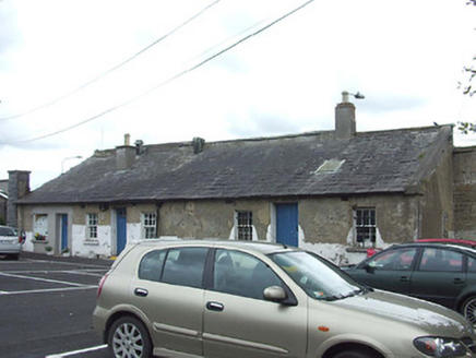 Sean Connolly BarracksGuard house · 102 yd
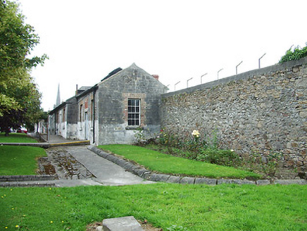 Sean Connolly BarracksOutbuilding · 110 yd
 T.w. Delaney and CompanyHouse · 112 ydGraveyard246 yd
 Saint Mel's CathedralCathedral · 508 ydEnclosure in DemesneEnclosure · 515 yd
 First World War MemorialMemorial · 556 yd
 Rathcline CastleHouse, fortified house · 9.7 mi
 Rathcline CastleBawn · 9.7 mi
Pictures: National Inventory of Architectural Heritage; Eric Jones, Geograph · CC BY-SA 2.0; 瑞丽江的河水, Wikimedia Commons · CC BY-SA 4.0; Mike Searle, Geograph · CC BY-SA 2.0; Kieran Campbell, Geograph · CC BY-SA 2.0
More historic places in County Longford · All of County Longford
What do you know about this place?