What is recorded here
Located in rough pasture on a heather-covered shelf at the E edge of the N-S ravine of the Araglin river. About 60 clearance cairns (diams. 2-3m; max. H c. 0.3m) cover an area of c. 2ha. The cairns are placed c. 10m to 30m apart. (Moore 1995, 194, 240, A3)
This monument forms part of the national monument complex at Coumaraglinmountain (National Monuments (Preservation) Order No. 4 of 1996).
The above description is derived from the published 'Archaeological Inventory of County Waterford' (Dublin: Stationery Office, 1999). In certain instances the entries have been revised and updated in the light of recent research.
Compiled by: Michael Moore
Date of upload/revision: 6 May 2011
The monument record does not grant public access. Check the route and ask the landowner before entering private land.
- What survives
- Recorded monument
Places near here
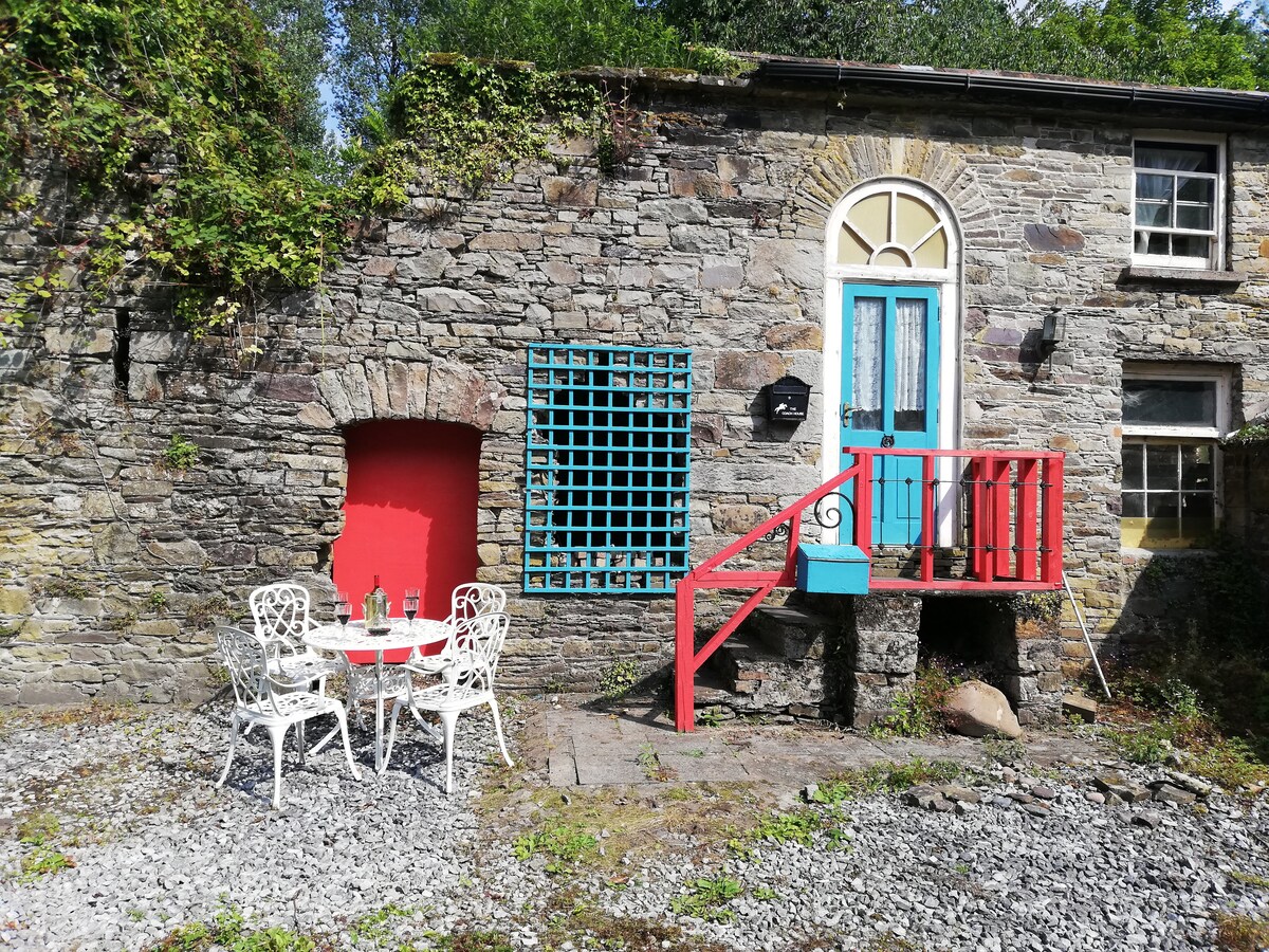 Booley hut in CoumaraglinmountainBooley hut · 262 yd
 Megalithic tomb in CoumaraglinmountainMegalithic tomb · 344 yd
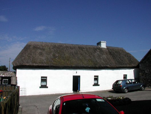 farm housefarm house · 1024 yd
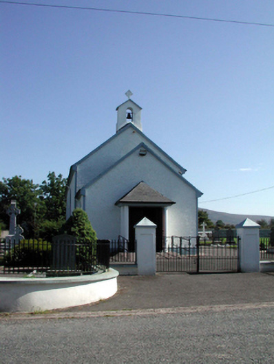 Saint Patrick's Catholic Churchchurch/chapel · 1575 yd
 Standing StoneMemorial · 1743 yd
 Coumaraglin MountainMountain / peak · 2.4 mi
 CrohaunMountain / peak · 2.4 mi
 Castle (in ruins)Castle, tower house · 4.0 mi
 Bawn in BarnankileBawn · 4.0 mi
 Mahon ValleyCliff · 4.2 mi
 Horse-chestnutHorse-chestnut · 5.0 mi
 Master McGrathMemorial · 5.0 mi