What is recorded here
Cairn and its two neighbours on a Kerry ridge may have marked a burial, a boundary or a sacred place. The main chamber still holds a circular bed of mixed stones, while a faint kerb traces one edge. The close spacing suggests a small ritual landscape rather than a random pile. People may have placed stones there for death, ownership or prayer, but the function has not survived into clear record.
In pasture, on a low ridge to the N of a tributary of the Glashievhee stream. The roughly circular cairn (3.75m N-S; 3.7m E-W; H 0.7m) comprises stones of various shapes and sizes. Traces of kerbing are evident WSW-NE. Two other cairns (KE094-061001-, KE094-061003-) lie 2.75m to the N and 28m to the NE, respectively.
The above description is derived from the published 'Archaeological Inventory of County Kerry. Volume I: South-West Kerry' (Dublin: Stationery Office, 2009). In certain instances the entries have been revised and updated in the light of recent research.
Date of upload: 30 May 2011
The monument record does not grant public access. Check the route and ask the landowner before entering private land.
- What survives
- Recorded monument
Places near here
 SheepfoldEnclosure · 176 yd
 Sheep FoldEnclosure · 246 yd
 KnockbrackMountain / peak · 1362 yd
 Battle of Callannbattle · 1.1 mi
 OutlinedKiln, lime · 1.1 mi
 Kilgarvan Motor MuseumMuseum · 1.3 mi
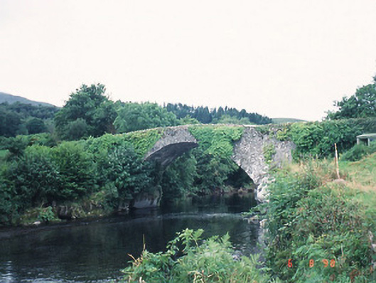 Ardtully Old Bridgebridge · 1.3 mi
 Castle (Site of)Castle, unclassified · 1.3 mi
 European YewEuropean Yew · 1.4 mi
 Knockbrack South TopMountain / peak · 1.5 mi
 Great Southern & Western RailwayMemorial · 1.7 mi
 Shanagarry Castle (Site of)Castle, unclassified · 3.2 mi