What is recorded here
Half-swallowed by peat on a Kerry ridge, the cairn keeps its shape despite centuries of rain and grazing. It stands among neighbours, one barely three metres away and another thirty metres east, suggesting a small cluster rather than a lonely marker. The stones may have guided herds, marked a boundary, or honoured a dead person whose name the land forgot.
In hill pasture, on a low ridge to the N of a tributary of the Glashievhee stream. A roughly circular cairn (2.9m E-W; 2.85m N-S; H 0.45m) partly covered by peat. Exposed stones are irregular in shape and vary in size. Traces of kerbing are evident E-NW and the perimeter NW-E is disturbed. Two other cairns (KE094-061002-, KE094-061003-) lie 2.75m to the S and 28m to the E, respectively.
The above description is derived from the published 'Archaeological Inventory of County Kerry. Volume I: South-West Kerry' (Dublin: Stationery Office, 2009). In certain instances the entries have been revised and updated in the light of recent research.
Date of upload: 30 May 2011
The monument record does not grant public access. Check the route and ask the landowner before entering private land.
- What survives
- Recorded monument
Places near here
 SheepfoldEnclosure · 192 yd
 Sheep FoldEnclosure · 231 yd
 KnockbrackMountain / peak · 1371 yd
 Battle of Callannbattle · 1.1 mi
 OutlinedKiln, lime · 1.1 mi
 Kilgarvan Motor MuseumMuseum · 1.3 mi
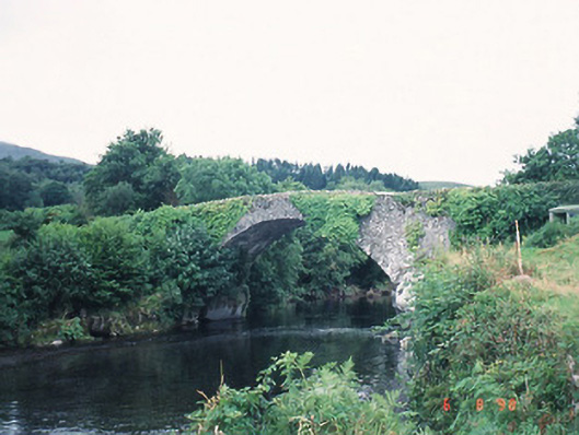 Ardtully Old Bridgebridge · 1.3 mi
 Castle (Site of)Castle, unclassified · 1.3 mi
 European YewEuropean Yew · 1.3 mi
 Knockbrack South TopMountain / peak · 1.5 mi
 Great Southern & Western RailwayMemorial · 1.7 mi
 Shanagarry Castle (Site of)Castle, unclassified · 3.2 mi